


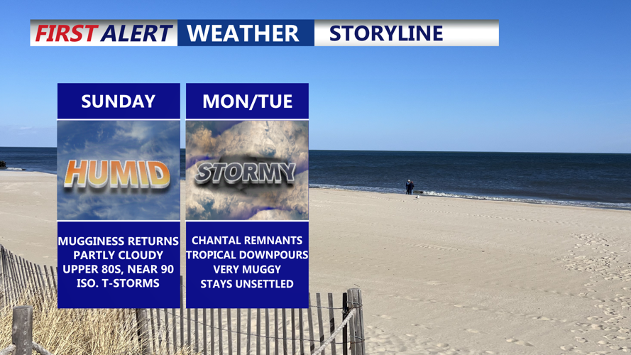
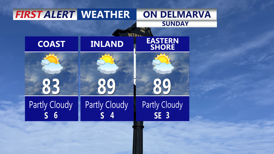


DELMARVA -- Sunday will begin a noticeable transition across Delmarva as high pressure shifts offshore and warmer, more humid air flows into the region. Temperatures will climb into the mid to upper 80s at the coast, upper 80s to low 90s Inland and Eastern Shore by afternoon, while dewpoints steadily rise into the upper 60s and low 70s. Most areas will remain dry during the day, but an isolated thunderstorm may pop up late as the weakening remnants of a tropical cyclone drift across the Carolinas and spread some moisture northward.

High Sunday reaching the 80s at the coast and upper 80s to 90 Inland and Eastern Shore, isolated t-storm possible.
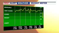
Sunday night will feel distinctly muggy compared to recent evenings. Temperatures will only drop into the 70 to 75 degree range, and increased humidity will keep conditions warm and sticky overnight.

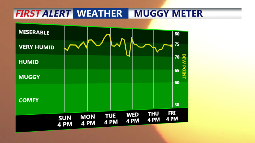
Dew points back up into the 70s, tropical like air grips Delmarva through next week.
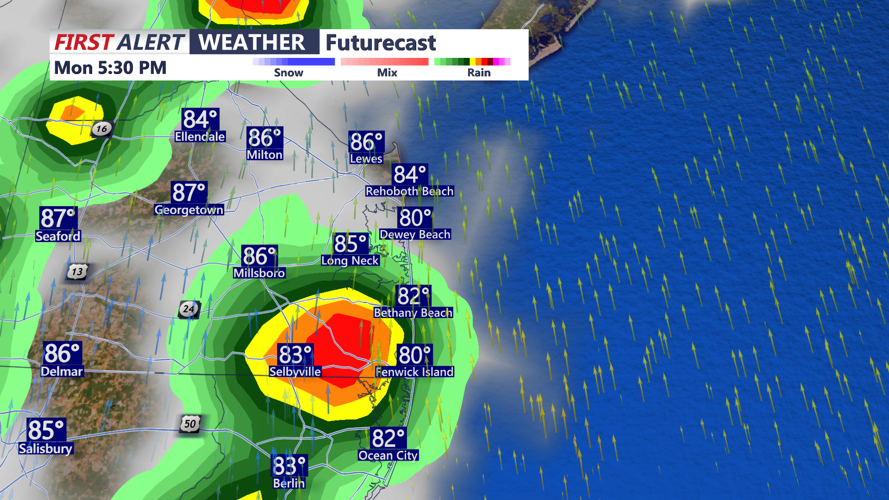
By Monday, the weather pattern will take on a more tropical character. An upper jet streak to the northeast will create a weak diffluence aloft, while ample daytime heating and rising moisture fuel scattered showers and thunderstorms by midday. Although the environment is not particularly favorable for widespread severe weather, a few storms could become strong, producing gusty winds, heavy rainfall, and localized flooding.

Scattered tropical downpours Monday afternoon, remnants of Tropical Storm Chantal.
Temperatures Monday afternoon will again reach the upper 80s to low 90s, but the higher dewpoints will push heat indices well into the mid to upper 90s for inland locations. Cloud cover will be more prevalent than over the weekend, helping to hold overnight lows in the low to mid-70s.
The unsettled pattern is expected to continue through much of the week ahead.
From Tuesday through Friday, daily chances for showers and thunderstorms are likely. The greatest potential for widespread storms will arrive Tuesday as a shortwave trough sweeps in from the Great Lakes, drawing deep tropical moisture into the area. This setup may lead to heavy rainfall, localized flooding, and isolated strong storms.
Wednesday may see slightly fewer storms as the system pushes offshore, but isolated convection will still be possible. Another disturbance arriving by Thursday or Friday will likely bring renewed rounds of showers and storms.
Temperatures through the week will stay near to slightly above seasonal averages. Highs will generally range from the mid-80s to low 90s, while lows will remain warm in the mid-60s to mid-70s. Humidity will be a constant presence, and heat indices on Tuesday could approach over 100 degrees in the southern parts of the region, although cloud cover and rainfall may moderate the heat at times.
