


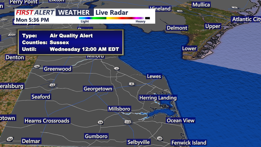


DELMARVA - Summerlike heat will continue across Sussex County from early Tuesday morning through early Wednesday morning, with inland communities facing another day of near-record warmth.
Temperatures early Tuesday will start well above normal for mid-May, with lows mainly in the mid-60s to lower 70s. Forecasters said those mild morning readings could challenge records for the warmest low temperatures for May 19.
By Tuesday afternoon, inland areas of Sussex County are expected to climb into the 90s as a south to southwest flow keeps hot, humid air in place. Heat index values could rise into the mid-90s and approach 100 degrees in some spots.
The beaches and immediate coastal areas should be cooler, especially where winds turn more southerly or southeasterly off the chilly ocean. Inland areas, including communities around Georgetown, Millsboro, Seaford and Laurel, are expected to feel the greatest heat impacts.
The weather should remain mainly dry through Tuesday night. While humidity will stay elevated, showers and thunderstorms are not expected to become a larger concern until Wednesday, when a cold front begins moving toward the region.
Tuesday night into early Wednesday will remain unusually warm, with temperatures again holding in the 60s to near 70 degrees. The warm start Wednesday will set the stage for another hot day before showers and thunderstorms arrive later with the approaching front.
People spending time outdoors Tuesday should drink plenty of water, take breaks in shaded or air-conditioned areas and limit strenuous activity during the hottest part of the day.
