



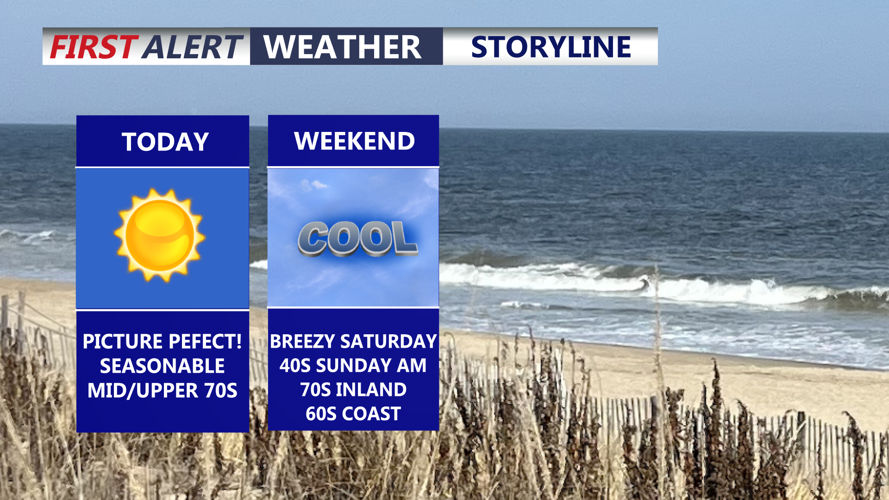
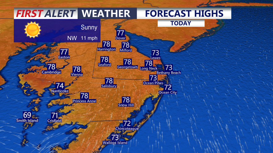

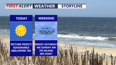
DELMARVA -- We're closing out the week with picture perfect weather. Friday features plenty of sunshine, comfortable temperatures, and highs in the mid to upper 70s. It is the kind of day where you really could not ask for much better weather across the peninsula.

Highs in the mid to upper 70s, beautiful day on the peninsula.
Tonight, skies remain mostly clear as temperatures fall into the upper 50s to lower 60s. A weak cold front will move through Delmarva late tonight into Saturday morning. While the front is expected to pass through dry due to limited moisture, it will bring a noticeable increase in winds behind it.

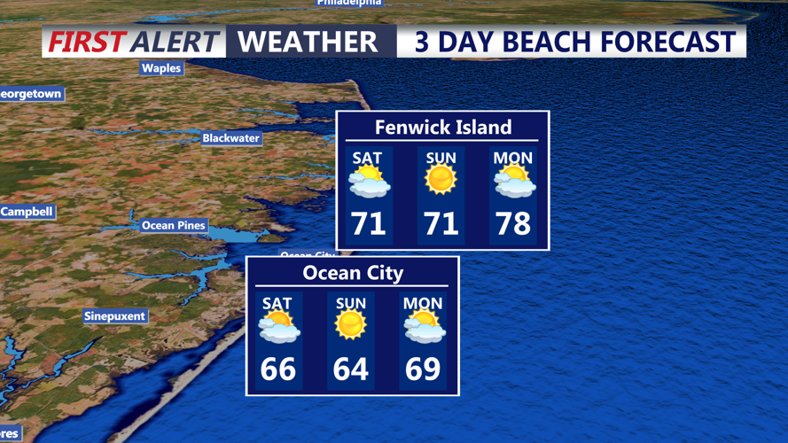
Beautiful weekend, sunny skies and temperatures in the 60s and low 70s Ocean City & Fenwick Island.
Saturday will turn breezy across Delmarva, especially after daybreak. Winds out of the north and northwest may gust between 25 and 35 mph, with some peak gusts near 40 mph possible. Despite the wind, skies should stay mostly sunny. Highs will be a little cooler, reaching the low 70s inland and the upper 60s along the beaches. Winds will gradually ease by mid-afternoon and into the early evening.
Saturday night will be clear and chilly, especially away from the coast, where lows are expected to drop into the mid to upper 40s. Coastal areas will stay a bit milder.

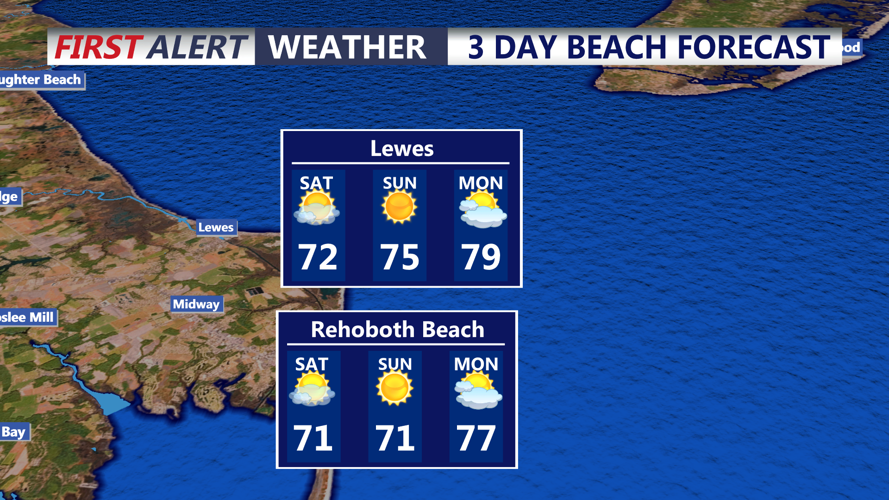
Beautiful pleasant weekend Lewes and Rehoboth Beach, Saturday will feature breezy conditions gusts 30 mph+
Sunday brings a nice rebound with sunny skies and highs back into the low 70s, making for a pleasant end to the weekend across Delmarva.
Looking ahead to next week, the pattern becomes more unsettled. An upper-level trough is expected to move in from the north, and there is still some uncertainty over how long it lingers near the region. Regardless of the exact setup, multiple days may bring shower chances to Delmarva.
At this time, significant impacts are not expected. Temperatures will likely run below normal for much of next week, though daytime highs should still generally reach the 70s. By mid to late week, temperatures are expected to rebound back into the 80s as high pressure builds into the region.
