



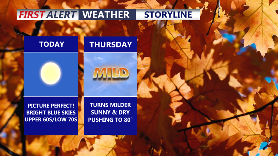

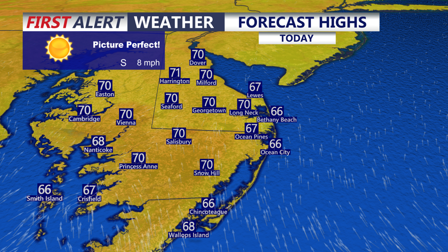

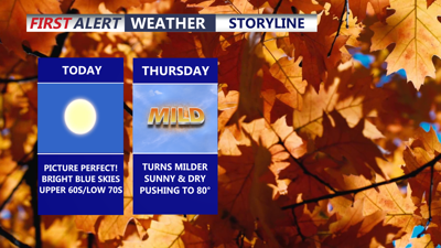
DELMARVA -- It was one of our coldest mornings since late April where areas aways from the coast fell into the upper 30s. Picture perfect day on the peninsula with highs in the upper 60s to low 70s, high pressure shifting offshore will bring in more of a southwest wind 5 to 10 with gusts to 20 mph.

Picture perfect Wednesday sunny skies and highs near 70 with winds out of the southwest 5 to 10 mph.
Tonight won't be as cold thanks to southwest winds 5 to 10 mph, under starry skies and lows in the low to mid 50s.

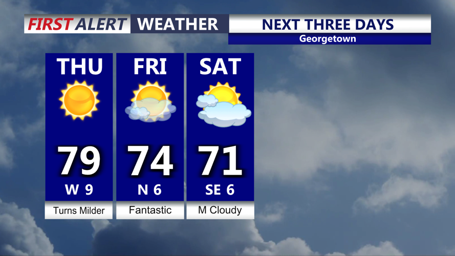
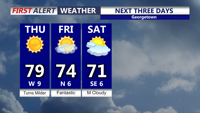
Turns milder Thursday as sunshine and dry weather continues into the start of the weekend.
Warming trend for Thursday, sunny skies and highs in the upper 70s to low 80s, just a gorgeous day. The sunshine continues into Friday with highs in the low to mid 70s. Clouds will increase into the weekend. Temperatures will be in the low 70s Saturday, upper 60s to low 70s Sunday.
All eyes on the Gulf, as Tropical Storm Isaias will intensify into the first hurricane of the Atlantic season in the coming days. The storm will become a strong Category 2 or perhaps even a major Category 3 hurricane and make landfall along the Gulf coast somewhere between Louisiana and the Florida panhandle early Saturday morning.
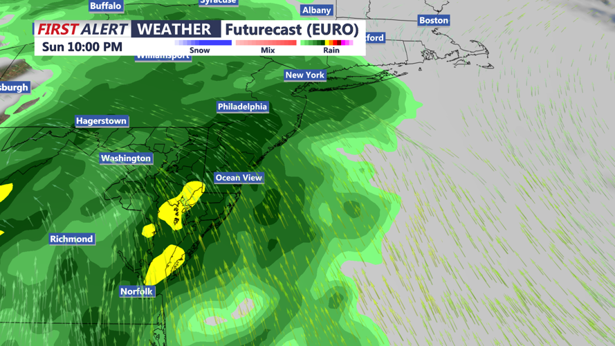
A slug of tropical moisture will push into our area late Sunday through Monday bringing up to potentially 2 inches of rain through the peninsula. Wind driven rain will be heavy at time Sunday night.

Remnants of Isaias could bring heavy rain and wind to the region late Sunday-Monday.
Some models are a little quicker bringing this rain to the area, while others area slower. Will be left with scattered showers and breezy conditions Monday. Turns milder Tuesday ahead of a cold front will push through late Tuesday bringing in another blast of cooler air middle of next week.
