




DELMARVA - Residents across Sussex County can expect a quiet and seasonably cool end to the workweek as high pressure builds into the region, providing clear skies and comfortable conditions through Friday evening. However, attention is turning toward Hurricane Isaias, which could bring widespread rainfall and localized flooding to Delmarva late this weekend.
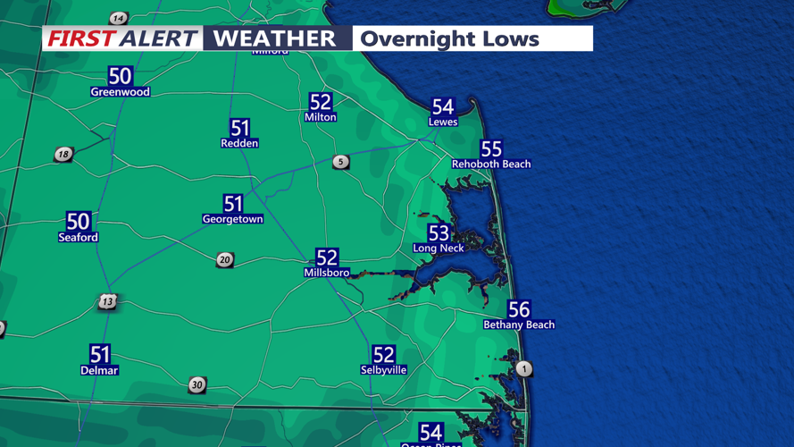
Thursday evening will feature mainly clear skies as a weak cold front moves offshore. High pressure will settle over the region overnight, allowing temperatures to fall into the upper 40s and lower 50s across much of Sussex County. Coastal communities, including Lewes, Rehoboth Beach, Bethany Beach and Fenwick Island, may remain slightly milder.
Friday will bring abundant sunshine and pleasant autumn temperatures, with afternoon highs generally reaching the lower to middle 70s. West-northwest winds around 10 to 15 mph will accompany the dry conditions. A few thin, high clouds may drift across the sky late in the afternoon, but no precipitation is expected.
Friday evening will remain tranquil as high pressure settles directly over the Mid-Atlantic. Skies should remain mostly clear, with light winds and temperatures cooling steadily after sunset.
The pleasant weather will extend into Saturday, although increasing cloud cover is expected as moisture begins streaming northward ahead of the approaching storm system. Afternoon temperatures will again reach the lower to middle 70s, with slightly cooler conditions along the Delaware beaches as winds turn easterly.
Attention then shifts to Hurricane Isaias, which is expected to make landfall along the northern Gulf Coast late Friday or early Saturday before weakening and moving inland. Its remnants are forecast to track northeastward toward the Mid-Atlantic, bringing increasing chances for rain across Sussex County beginning Sunday.
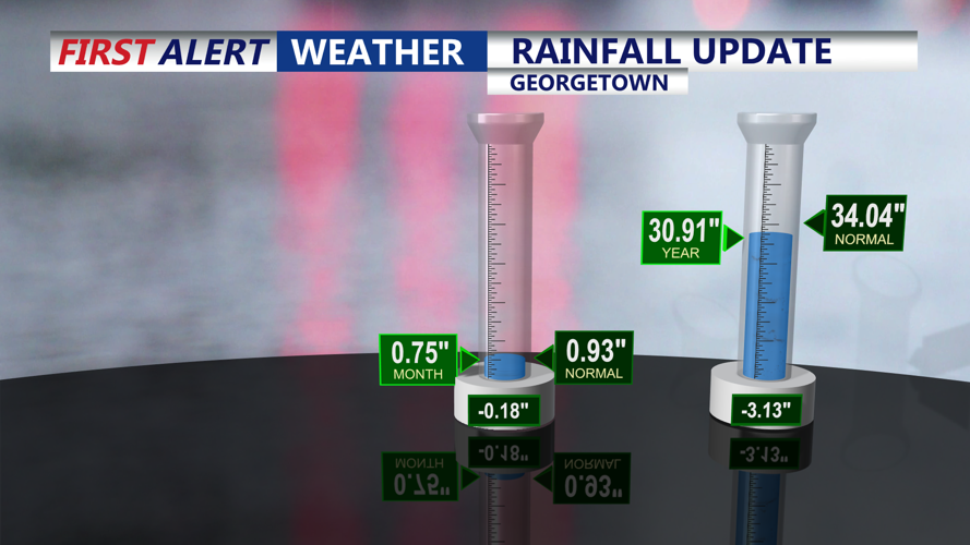
Periods of moderate to heavy rainfall will become possible Sunday afternoon through Sunday night, potentially continuing into early Monday. Forecast rainfall totals could reach 1 to 2 inches across portions of the region, with locally higher amounts possible.
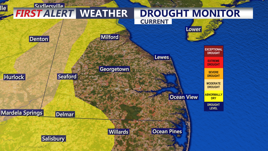
The Weather Prediction Center has placed much of the region under a Marginal Risk, Level 1 of 4, for excessive rainfall Sunday. This indicates that isolated instances of flooding could develop, particularly in low-lying locations, urban areas and places with poor drainage.
While the exact timing and placement of the heaviest rainfall remain uncertain, residents should monitor forecast updates as the weekend approaches.
For now, Sussex County can enjoy another stretch of comfortable fall weather through Friday evening, with increasing attention on the possibility of a wetter and more unsettled finish to the weekend.
