



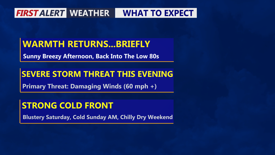
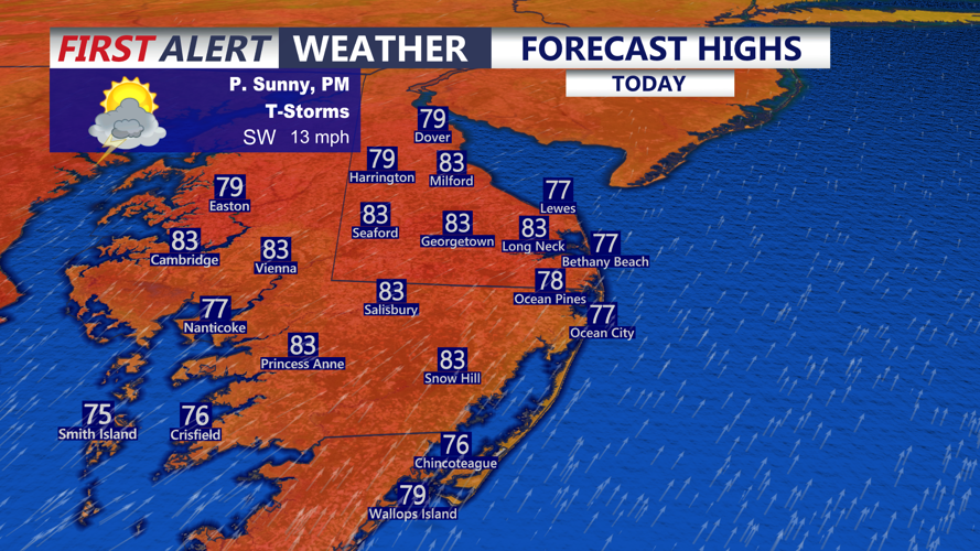

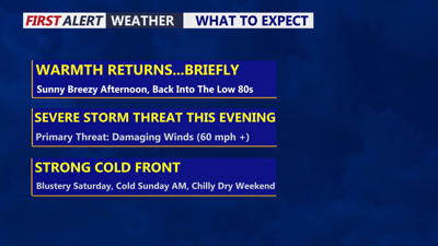
DELMARVA -- Our temperature roller coaster continues today. Summer-like warmth is back but briefly. Highs in the low to mid 80s inland, upper 70s to low 80s at the beaches, winds gusting to 25 to 30 mph out of the southwest. A strong cold front will approach tonight bringing storms, showers and gusty winds.

Summer-like feel returns, warm and muggy, tracking the threat of storms this evening.
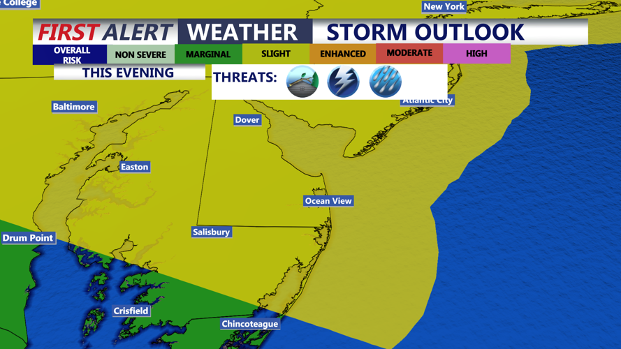
Expecting a squall-line to develop this afternoon to our west and push east into the evening. A SLIGHT risk of severe storms (2 of 5) continues for Delmarva, damaging wind gusts in excess of 60 mph being the primary threat. Models do weaken the line as it progresses through the heart of the peninsula as the sun sets and the slower arrival of the front may limit our severe threat. There is an isolated tornado threat for New Castle County, DE and up through SE PA.

Chance for some strong to severe storms this evening, primary threat is damaging wind gusts in excess of 60 mph.
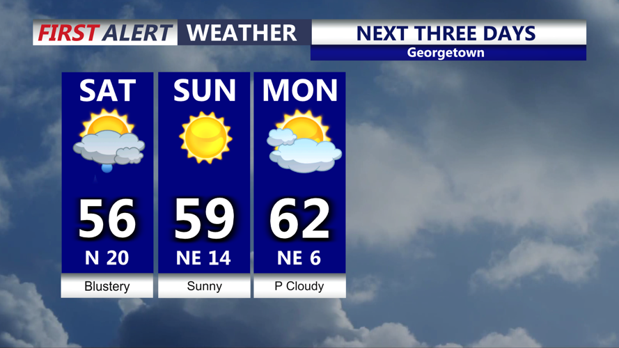
Showers will continue overnight and may linger into daybreak Saturday, temperatures will fall into the upper 40s to low 50s. Winds will start to crank behind the front gusting to 35-40 mph out of the north into Saturday. Will likely hit our high Saturday just after midnight, spend the day in the mid to upper 50s and clouds decrease.

Turns colder and blustery Saturday, with temperatures in the 50s during the afternoon.
Saturday night expecting a cold night, not expecting widespread frost. Winds may be breezy enough to prevent that. Some patchy frost is possible further inland, Mid-Shore and to the north. Starry skies and temperatures in the upper 30s to low 40s. Sunday will feature lots of sunshine a beautiful day with highs around 60s.
Temperatures will remain in the low to mid 60s through next week. Lot's of uncertainty as an area of low pressure will develop off the southeast coast early next week. That could bring Delmarva persistent onshore flow and coastal concerns middle of next week. That's the last thing the coast needs after last months nor'easter. Depending upon the intensity of the low and how close it tracks to the coast will determine impacts, such as, rain, wind and coastal flooding.
