


DELMARVA - A warm front lifting north across the Mid-Atlantic will bring more humid air into Sussex County late Wednesday night before a stronger weather system arrives Thursday.
A few isolated showers or thunderstorms could develop Wednesday evening, but the better chance for active weather will come Thursday as low pressure tracks east from the Great Lakes and a cold front approaches Delmarva.
Thursday is expected to be hot, humid and windy, with temperatures climbing into the upper 80s to lower 90s. Heat index values could reach the low to mid-90s in parts of southern Delaware.
Sussex County may stay mainly dry through Thursday morning and into early afternoon, allowing warmer and more unstable air to build ahead of the front. Isolated to scattered thunderstorms could develop later Thursday afternoon and continue into the evening.
Any storms that form Thursday could become severe. The main threat will be damaging wind gusts, though hail also is possible. Outside of thunderstorms, southwest winds of 15 to 25 mph are expected, with gusts commonly reaching 30 to 35 mph. A few gusts could approach 40 to 45 mph.
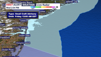
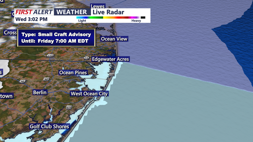
Tide levels will remain elevated through the Wednesday night high tide cycle, and spotty minor coastal flooding is possible along Delaware Bay and nearby tidal areas.
Residents should monitor the forecast Thursday, especially during the afternoon and evening, and be prepared to move indoors quickly if storms develop.
