


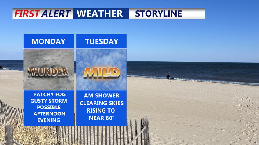


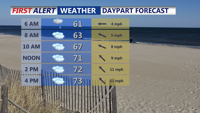
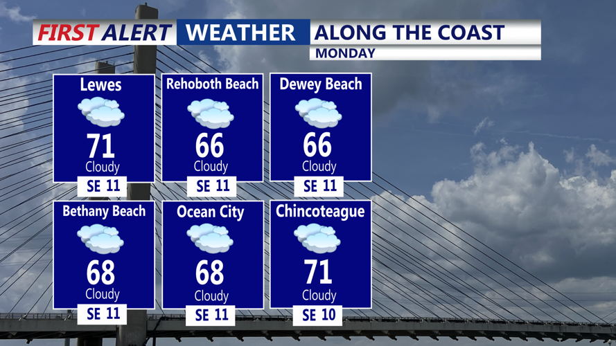


DELMARVA -- The week begins unsettled across Delmarva, as an upper-level low parked over the Ohio Valley on Monday continues to drive clouds and showers across the region. High temperatures will reach the low to mid 70s inland, while coastal areas remain cooler in the 60s.

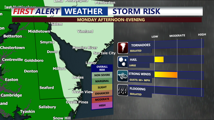
Marginal risk (1 of 5) for an isolated severe storm, damaging wind & hail primary threat.
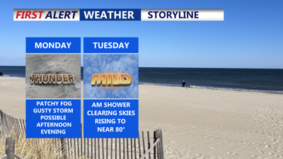
A strong high-pressure system building south from Quebec into the Canadian Maritimes will interact with this slow-moving low, creating unstable conditions. As a result, the Storm Prediction Center has placed some of the peninsula under a Marginal Risk for severe weather, with damaging winds and large hail being the primary threats. The overall threat is low.

Highs in the mid 70s, isolated showers and storms possible into the evening.
Showers will persist through the day Monday, with the chance for heavier rainfall and thunderstorms increasing Monday night as a stronger shortwave moves across the region. Some clearing may develop overnight—especially in southern areas—but expect skies to remain generally cloudy with light east to southeast winds.

Cloudy skies at the beach, with a stray shower or storm during the afternoon and evening.
By Tuesday, conditions should begin to improve. A lingering morning shower is possible, but the day will trend partly cloudy with highs rising into the upper 70s to near 80 degrees. An isolated afternoon thunderstorm cannot be ruled out as the upper-level low lifts to the north.
Wednesday will feature a mix of clouds and sunshine as the upper low weakens while crossing the Northeast. A few light showers could develop during the day, but the system will gradually lose strength. A cold front is forecast to move through Wednesday night into Thursday morning, but limited moisture and weak forcing may result in little to no precipitation with its passage.
From Thursday into Friday, an amplifying upper-level trough will drive cooler air into the region. Temperatures are expected to dip into the 60s and low 70s, with slightly cooler readings along the coast. A few instability-driven showers may pop up Friday, though chances remain low at around 20 percent.
Looking ahead to the weekend, the trough will begin to lift out, allowing for gradual warming under dry and calm conditions. Expect improving skies and more seasonable temperatures by Saturday and Mother's Day, making for a pleasant close to the week.
