



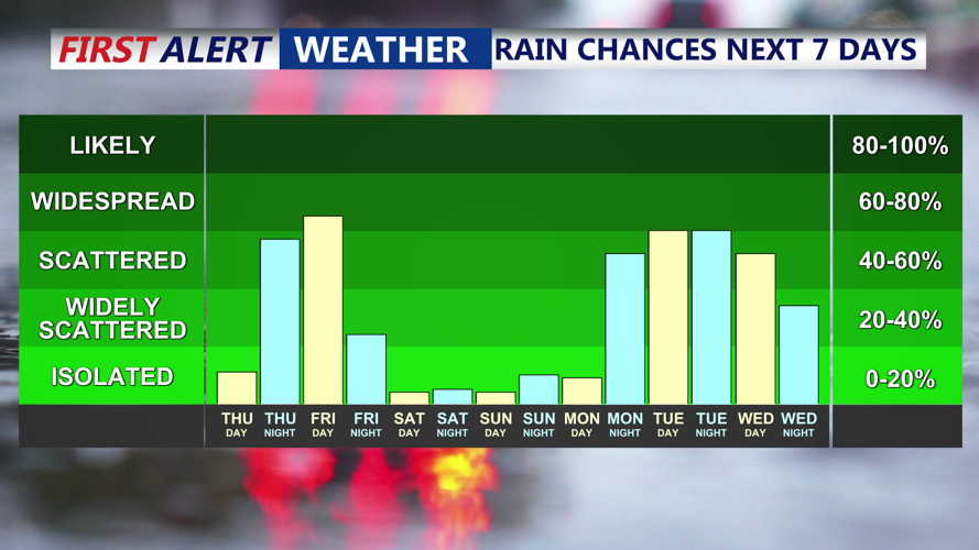
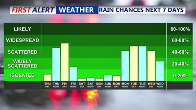
DELMARVA - The rest of Thursday looks nice, with a few afternoon showers can't be ruled out. Highs will be in the 70s to near 80 for inland spots, with cooler 60s and 70s at the coast. Lows Thursday night will fall into the mid to upper 50s inland , with some 60s at the coast.

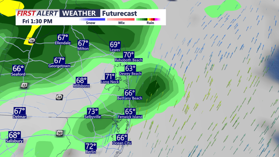
Scattered showers and a brief downpour Friday afternoon.
Friday is shaping up to be the soggiest day of the week as low pressure settles over the Mid-Atlantic and supports low pressure near the New Jersey coast.

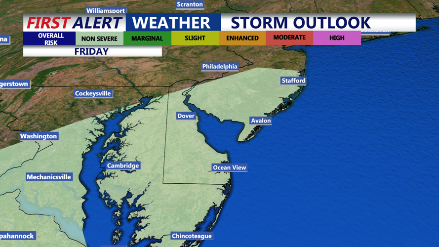
Friday brings a threat for an isolated thunderstorm, no severe weather expected.
Showers and embedded thunderstorms are likely throughout the day. Abundant clouds and rain cooled air will suppress temperatures, with highs only reaching the 60s. Rain will taper off Friday night as the low exits, with lows falling into the 40s, with some 50s at the coast.
The departing low will weaken on Saturday, allowing some sunshine to return, though lingering troughing aloft may keep clouds around. Highs will begin to moderate. High temperatures will be in the low 70s, with 60s at the coast. Looking dry Saturday night with lows in the 50s.

Clearing skies by Saturday setting the stage for a pleasant warm Mother's Day weekend.
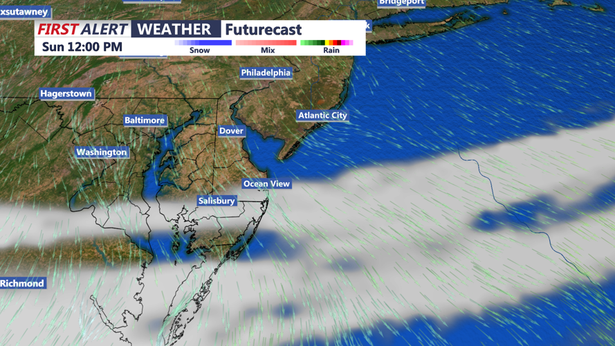
Another cold front arrives Mother's Day with limited moisture, so going with mainly dry conditions as of now, with highs in the mid to upper 70s, cooler at the beaches.
By Monday, high pressure is forecast to build in from the west, delivering drier and warmer weather. Temperatures will rise, though light winds could allow for a sea breeze during the afternoon.


