


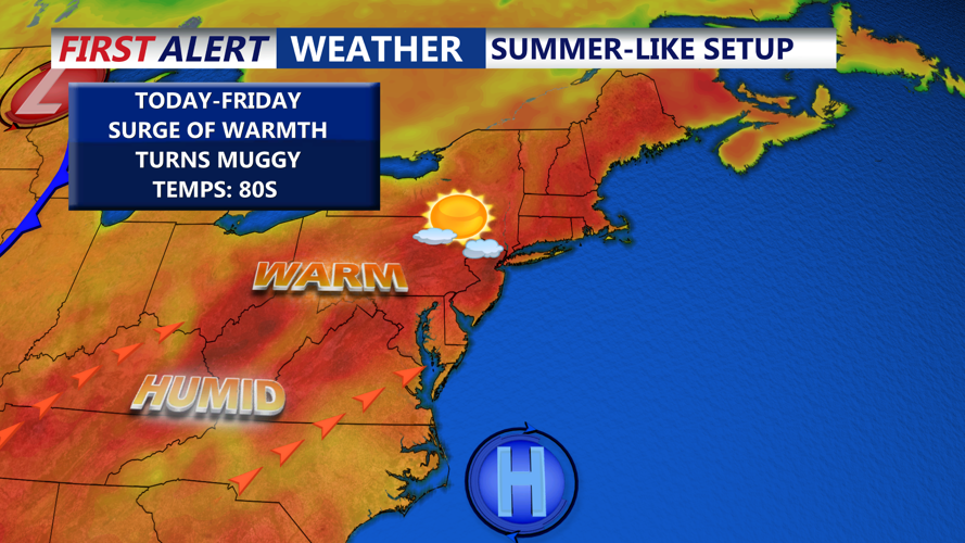


DELMARVA - High pressure continues to drift off the east coast, bringing in warmer and more humid air to the Mid-Atlantic region.
Sunny and less smoky weather is expected this afternoon, as temperatures rise into the mid 80s inland, with 70s at the beaches.

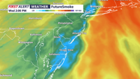
Skies will remain mostly clear through the evening hours, with increasing clouds expected. Some elevated haze and smoke may continue to hang over the region overnight. Lows in the 60s are expected. Surface impacts from the smoke and haze are expected to remain minimal.

The persistent offshore high will begin to shift farther out to sea during the day on Thursday. As it does, clouds will continue to increase across the region, especially by Thursday afternoon. The cloud cover will prevent temperatures from getting too warm. Expect highs in the mid 80s inland, with 70s at the beaches.
Thursday night will be dry and mild with lows in the 60s.

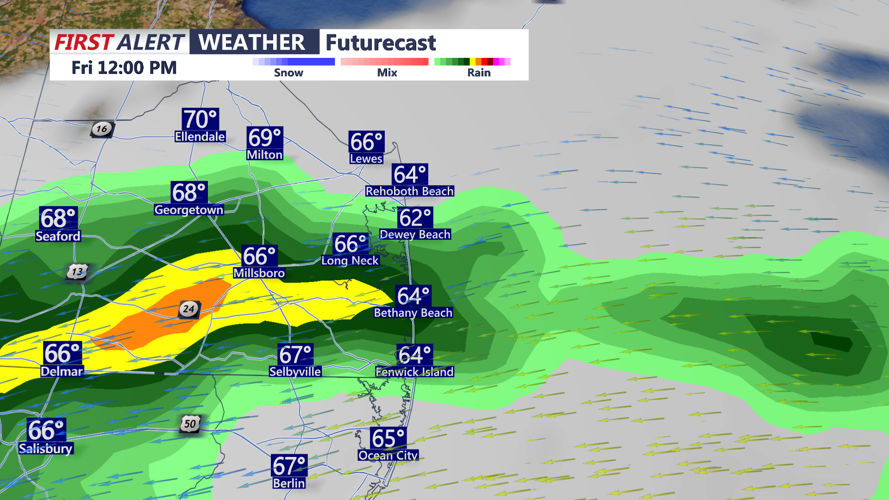
By Friday morning, an approaching front is expected to draw moisture into the region, with forecast models suggesting precipitable water values rising to between 1.25 and 1.75 inches. This will create conditions favorable for isolated to scattered showers and possibly a thunderstorm. Any downpours that develop could produce brief heavy rain, especially inland and near the Route 1 corridor. Highs will be in the 70s and 80s.
Friday night a few showers are possible with lows in the 60s.

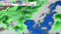
Saturday remains unsettled with showers and thunderstorms possible. Some could contain heavy rain and gusty winds. A few showers could linger into Sunday with highs both days near 80, and lows in the 60s.
