



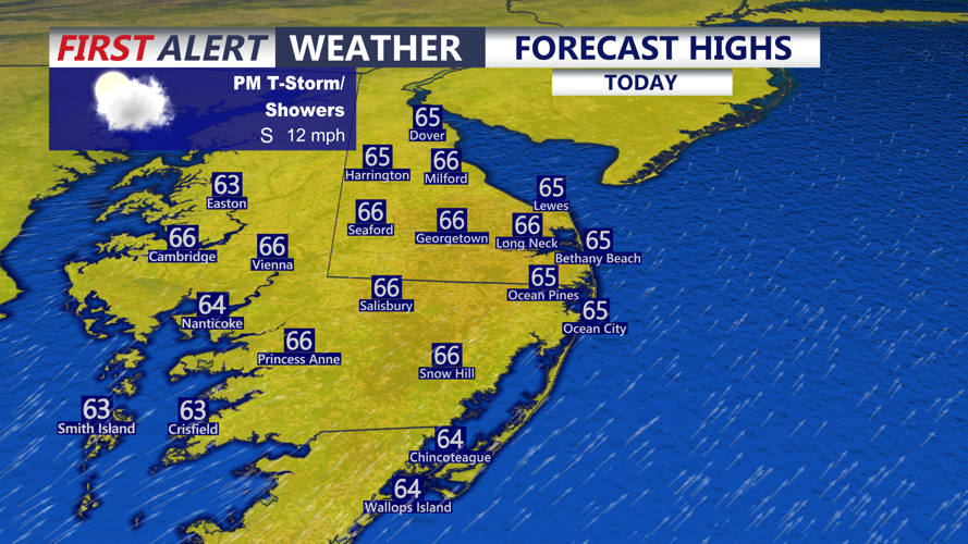

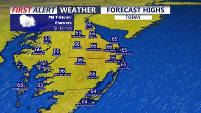
DELMARVA -- One last mild day on Delmarva before an early taste of winter arrives. As we push through the day today can't rule out an isolated t-storm.

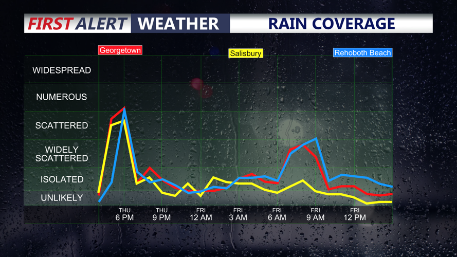
Isolated gusty t-storm possible this afternoon, scattered showers for most into the evening.
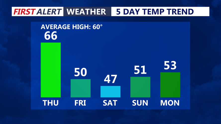
It's a tight window, like threading a needle. But there is just enough energy in the atmosphere as an area of low pressure passes to our north to get an isolated severe storm, especially for Delaware and points to the north. The main threat zone looks to be in Philly and New Jersey. Damaging wind gusts 60 mph and hail are the primary threats. Most of the peninsula won't see a thunderstorm, but a chance for scattered showers will be with us into the evening. Highs in the mid 60s with winds out of the south to 25 mph.

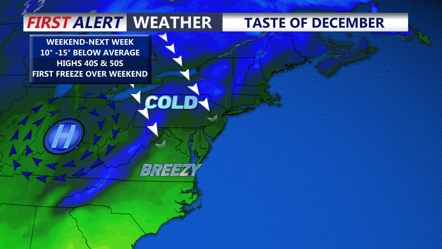
Temperatures take a plunge into Friday, early taste of winter arrives on Delmarva into the weekend.
Low pressure will develop and strengthen offshore to our northeast, that will pull down much colder air into Friday. Tonight expect mostly cloudy skies and a few stray showers, lows in the low to mid 40s.
Friday will feature cloudy raw conditions. A few showers in the morning, otherwise temperatures will be stuck in the 40s for most of the day with wind gusts out of the northwest to 30 mph. Rainfall totals through Friday night will be around a tenth to forty tenths of an inch. As the winds relax late Friday night into Saturday morning as skies clear we could see temperatures dip to the freezing mark.

First freeze of the season likely as we head into the weekend.
Overall the weekend will have a very December like feel with dry blustery conditions. Highs Saturday in the upper 40s, overnight lows dip at or below freezing. Sunday highs in the low 50s under partly cloudy skies. Temperatures will remain below average into early next week before rebounding late week back into the 60s.
