


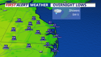


DELMARVA -- As high pressure continues to drift offshore, a warm front will lift across the area Monday evening, followed by a cold front later in the night. These transitions will bring an uptick in showers through the overnight hours, with light drizzle and scattered rain lingering into Tuesday morning. Despite the passing cold front, temperatures will remain unseasonably mild—overnight lows are expected to dip only into the upper 50s to low 60s.

Warm front lifting through will keep temperatures mild with a few showers.
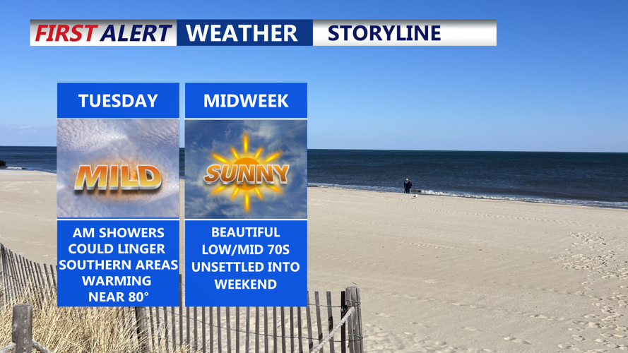
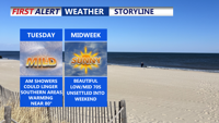
By Tuesday, skies will begin to clear shortly after sunrise. As sunshine returns, winds will pick up noticeably from the west and northwest, with gusts reaching between 20 to 25 miles per hour. Temperatures will rise well above average, climbing into the upper 70s to near 80 degrees inland and settling into the low to mid-70s along the coast. Some showers could linger in the far southern reaches of the peninsula.
High pressure will then build in from the Great Lakes region, bringing dry and stable conditions through midweek. By Wednesday and Thursday, this high will crest over the Mid-Atlantic, helping to maintain clear skies and a mild air mass. Temperatures across Delmarva are forecast to reach the low to mid-70s during the day, with slightly cooler highs in the 60s closer to the coastline. Overnight lows through this stretch will favor the 50s.
Looking ahead to the weekend, another area of low pressure is expected to bring more unsettled weather to the region. Showers are expected to develop late Friday night and become likely through Saturday. Once a cold front sweeps across the region Saturday night, conditions are anticipated to dry out, setting up a clearer and more seasonable end to the weekend. Sunday and Monday will bring cooler, near-normal temperatures with dry skies.
