


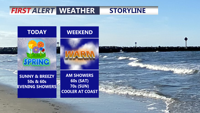
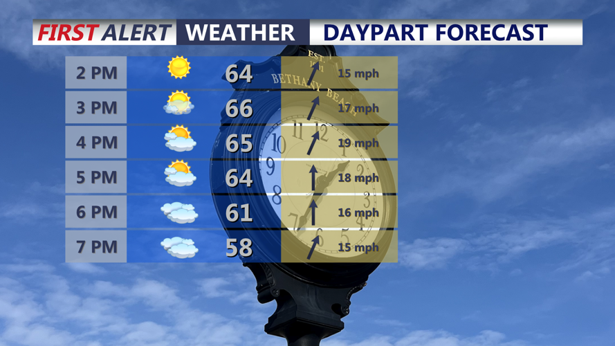


DELMARVA -- Today marks the official start of spring across Delmarva, arrived at 10:46 this morning, and the weather is certainly getting the new season off to a pleasant start. Mostly sunny skies have dominated through the day, with afternoon temperatures climbing into the mid 60s inland, while communities along the beaches stay cooler in the upper 50s to low 60s. Southwest winds will continue to increase through the afternoon and evening, with gusts reaching 30 to 35 mph.

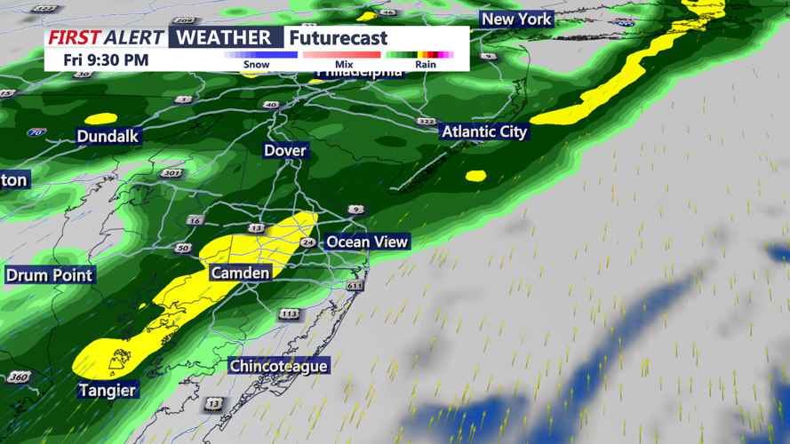
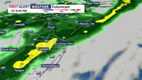
Clouds increase through this evening ahead of scattered showers.
Clouds will thicken later this evening as an upper-level trough moves from the Great Lakes into the Northeast, helping to push a quick-moving area of low pressure north of the region tonight into early Saturday morning.

Scattered showers develop this evening through the overnight.
This is not expected to be a major system for Delmarva, and rainfall totals should remain under a quarter of an inch. A few showers are likely overnight, but all rain should clear out by around 8 Saturday morning, temperatures fall into the upper 40s to low 50s.

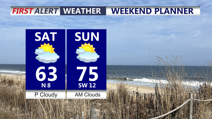
Warm weekend ahead, low to mid 60s Saturday, mid 70s Sunday, will be cooler at the beaches both days.
The rest of the weekend looks fairly quiet and mild. Saturday will feature highs ranging from the mid 50s to low 60s for most areas, with overnight lows Saturday night only dropping into the low 40s. By Sunday, temperatures will surge even more, with many inland spots reaching the mid 70s. It will stay cooler near the coast, where highs should remain in the 50s and 60s.