


DELMARVA - Sussex County residents can expect a noticeable shift in weather conditions from late Thursday evening through Friday evening, as high pressure moves offshore and a warm front lifts northward across the region.
Following a cool and sunny Thursday with breezy west to northwest winds and very low humidity, conditions will begin to moderate overnight. Winds will relax and shift to a southerly direction as the high slides eastward into the Atlantic. Skies will remain mostly clear during the evening, with increasing high clouds late, which could limit cooling in some areas. Still, temperatures are expected to dip into the mid to upper 30s overnight, with coastal and urban areas staying closer to 40 degrees.
By Friday, southwesterly winds will pick up speed—sustained between 15 to 25 mph and gusting up to 35 mph—as a warm front approaches from the southwest. This return flow will bring significantly milder air, pushing temperatures to near or above 70 degrees inland. Areas along the immediate coastline will remain slightly cooler, in the 50s to low 60s.
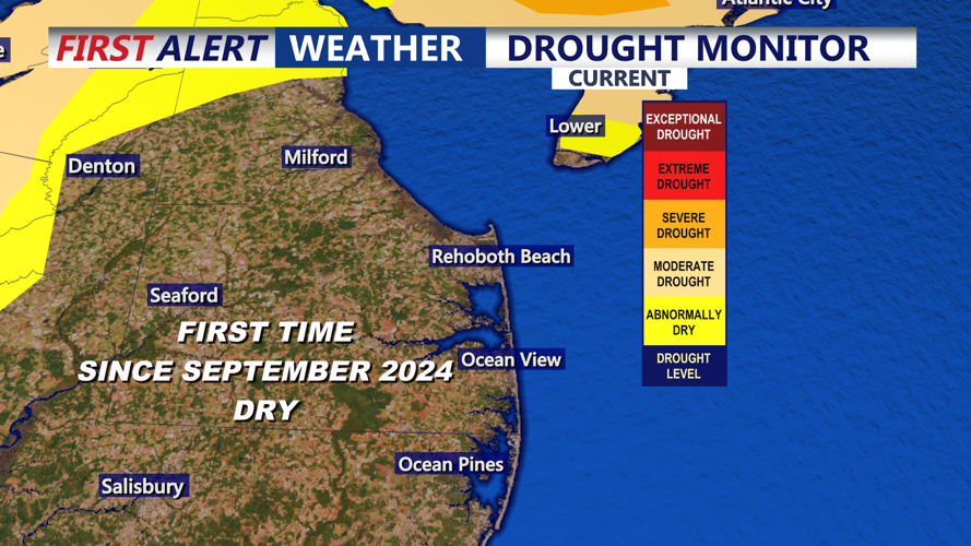
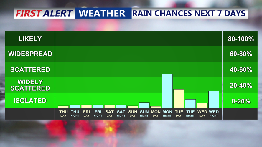
The region will stay dry during this period, though a stray shower can't be ruled out Friday evening as the warm front fully passes. Looking ahead, temperatures will continue climbing into the weekend, with highs reaching the low 80s on Saturday before a cold front brings cooler conditions Sunday.
Stay with Coast-TV for the latest weather updates throughout the weekend.
