



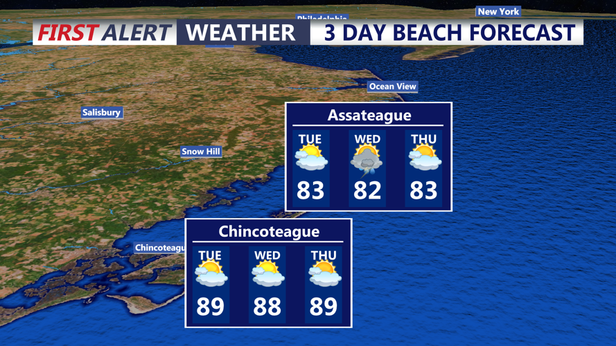

DELMARVA - Unsettled weather will continue across southern Delaware and the lower Delmarva Peninsula from early Tuesday morning through early Wednesday, with additional rounds of showers and thunderstorms possible.
Tuesday morning may begin with lingering clouds and isolated showers before thunderstorm chances increase later in the day. A cold front is expected to remain stalled northwest of the region, allowing waves of atmospheric energy to move through and support additional storm development.
The overall severe weather threat Tuesday is expected to be lower than Monday, but a few thunderstorms could still become strong. Gusty winds and locally heavy rainfall will be the main threats, especially during the afternoon and evening.
Forecasters also continue to highlight a marginal risk for excessive rainfall across the region. While widespread flash flooding is not expected, slow-moving or repeated storms could produce pockets of high water in poor-drainage and low-lying areas.
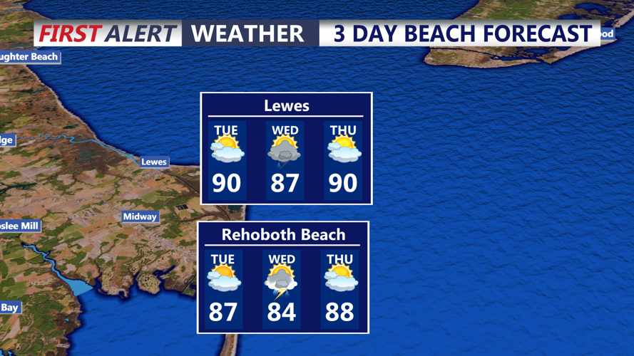
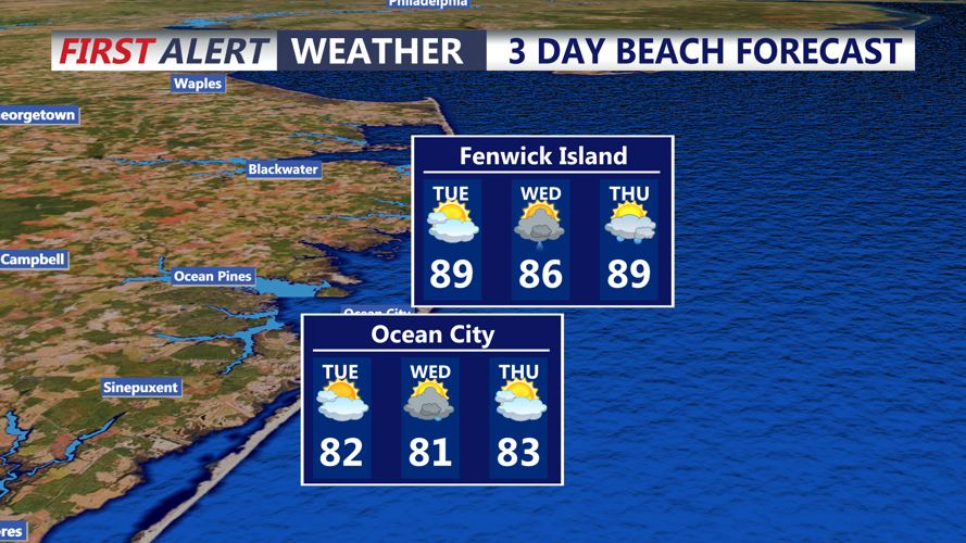
Temperatures Tuesday are expected to climb into the mid-80s to lower 90s, with continued humidity. Heat index values will generally range from the mid-80s into the mid-90s, providing some relief from the more oppressive heat experienced in recent days.
Along the Atlantic coast from Sussex County south toward Ocean City, Maryland, minor tidal flooding will also be possible around the Tuesday evening high tide. Astronomical tides are increasing ahead of Wednesday’s new moon, and water levels could reach minor flood thresholds in some coastal and bayside locations.
Showers and thunderstorms may continue into Tuesday night and early Wednesday morning as the frontal boundary remains nearby. Locally heavy rain and brief gusty winds will remain possible overnight before another round of unsettled weather develops later Wednesday.
