




DELMARVA - An unsettled weather pattern will continue across Sussex County from late Tuesday night through Wednesday night as a frontal boundary settles south of the region and another disturbance approaches.
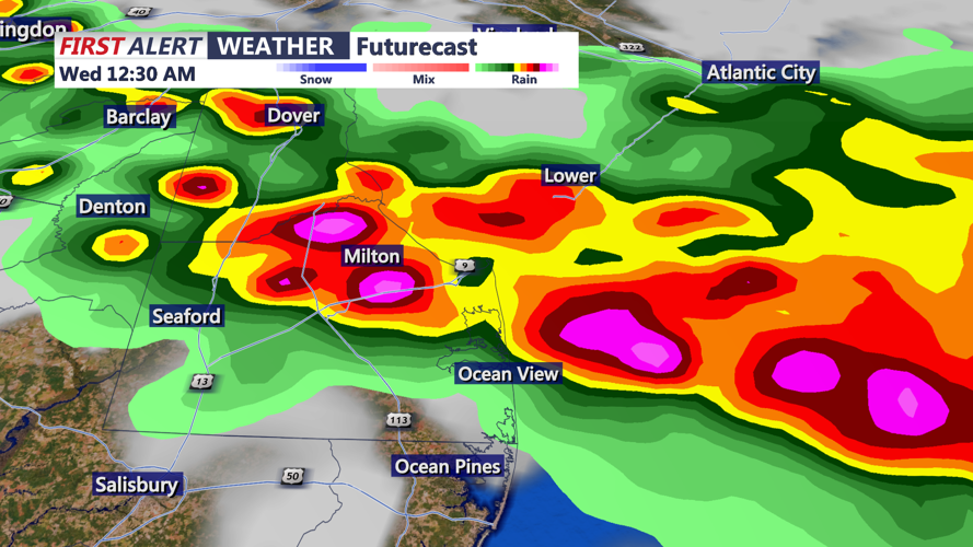
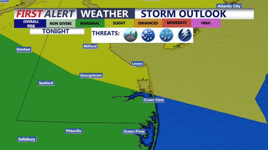
Showers and thunderstorms developing farther north Tuesday evening are expected to move southward, bringing a chance for storms into Delmarva during the late evening and overnight hours. Any stronger storms could produce gusty winds, frequent lightning and heavy downpours, although the greatest severe weather threat is expected to remain north of Sussex County.
Storms should move quickly enough to keep the overall flash flooding threat relatively low. However, locally heavy rainfall could still produce brief ponding or poor drainage flooding in vulnerable locations.
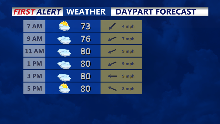
By Wednesday morning, the frontal boundary should settle south of the region. Northeasterly winds will bring cooler, more stable air into Sussex County, with considerable cloud cover expected through much of the day.
Temperatures will be lower Wednesday compared with Tuesday, although the cooldown across Delmarva may be less dramatic than areas farther north.
Another upper-level disturbance will approach Wednesday and could trigger scattered showers and thunderstorms during the afternoon and evening. Atmospheric instability is expected to remain limited near the surface, reducing the likelihood of widespread severe weather.
Some instability may remain several thousand feet above the ground, meaning thunderstorms could still develop if the approaching disturbance provides enough lift. The severe weather threat remains conditional and relatively uncertain.
Scattered showers or thunderstorms could continue into Wednesday evening before gradually diminishing later Wednesday night.
