



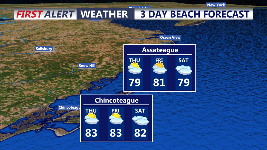
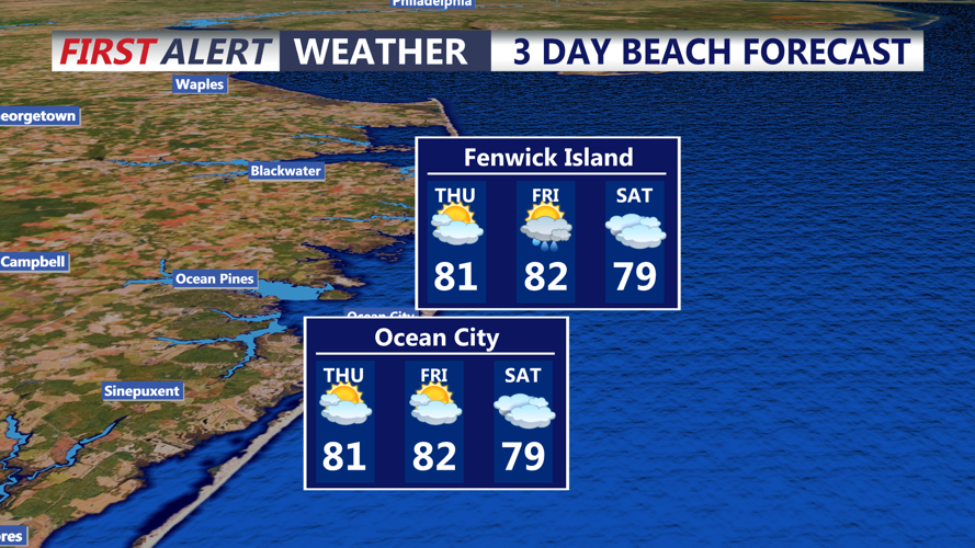
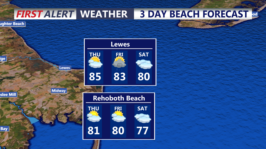

DELMARVA - Late Wednesday evening will remain generally quiet across Sussex County, with partly cloudy skies and increasingly humid conditions overnight. Southerly winds will draw more moisture into the area, with dew points climbing toward the low 70s by Thursday.
A warm front moving through the region Thursday will bring a greater opportunity for showers and thunderstorms. Activity may remain scattered early in the day before increasing during the afternoon and into Thursday evening.
Some thunderstorms could become strong, with damaging wind gusts, frequent lightning and locally heavy rainfall the main concerns. Atmospheric instability is expected to increase Thursday, while stronger winds higher in the atmosphere could allow some storms to become better organized.
There is a Slight Risk, Level 2 of 5, for severe thunderstorms across much of the region Thursday. While an isolated tornado cannot be completely ruled out, the greater tornado threat appears to be farther north and west of Sussex County, closer to the Interstate 95 corridor.
Heavy rainfall will also be possible with the strongest storms. Moisture levels will run well above normal for late August, allowing thunderstorms to produce brief downpours. The greatest risk for excessive rainfall and flash flooding is expected north and west of Sussex County, but localized poor-drainage flooding could still occur where repeated or slow-moving storms develop.
Showers and thunderstorms may continue into Thursday evening before gradually becoming less widespread. Another round of unsettled weather is possible Friday as a cold front moves through the region, followed by generally drier conditions for much of the weekend.
