


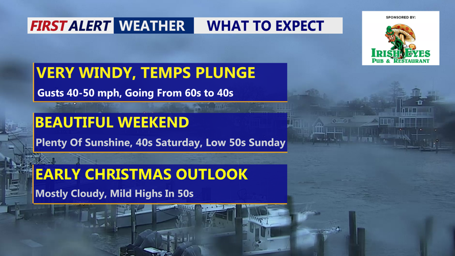


DELMARVA -- Unsettled weather will give way to a continuation of strong winds as temperatures rapidly fall across Delmarva today as a cold front moves through the region.

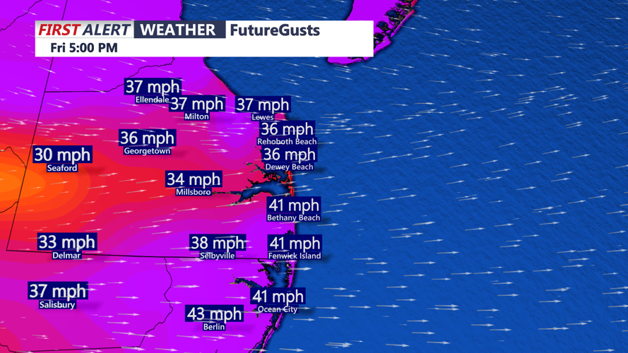
Skies clearing, temperatures crashing, winds will gust to 30 to 45 mph out of the west.
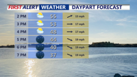
After early rain and mild conditions this morning, skies are expected to clear as winds increase sharply behind the front. West to northwest winds will strengthen through the afternoon and evening, with sustained speeds of 20 to 30 mph and gusts between 35 and 45 mph. Isolated gusts could reach 50 mph, especially in open and coastal areas. A Wind Advisory remains in effect until 1 a.m.

Cold front pushing through this afternoon, gusts to 45 mph out of the west.
Temperatures will drop steadily through the day, falling into the upper 30s to low 40s by sunset. Overnight lows will plunge into the low to mid 20s by Saturday morning.
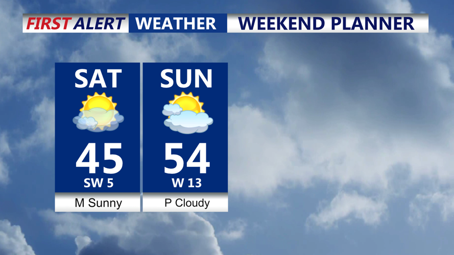
High pressure settles over the region Saturday, bringing mostly sunny skies, lighter winds and below-normal temperatures. Afternoon highs will reach the low to mid 40s. Conditions remain dry Sunday as a weak cold front crosses the area, with highs warming into the upper 40s to low and mid 50s. Winds will turn gusty again behind the front Sunday afternoon.

Beautiful weekend in store, mostly sunny low to mid 40s Saturday, low to mid 50s Sunday.
Quiet weather continues into Monday as high pressure briefly returns. Clouds will increase Monday night ahead of a fast-moving system, bringing a chance of rain — Tuesday, with precipitation chances around 40 to 50 percent.
Dry conditions are expected Christmas Eve before another cold front approaches Thursday, followed by additional rain chances late in the week. Temperatures will gradually moderate, starting below normal early in the week and climbing to above-normal levels by Christmas and Friday.
