


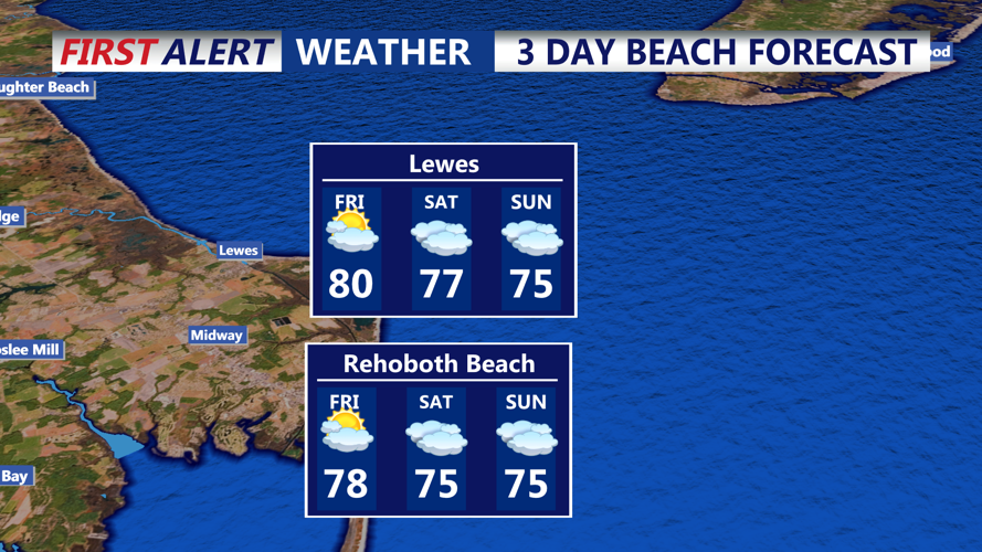


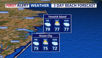
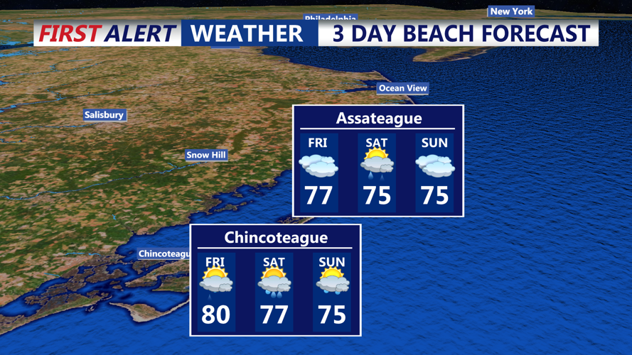
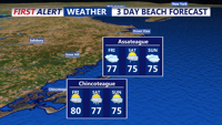

DELMARVA - Sussex County will transition from unsettled weather early Friday to calmer and seasonably mild conditions by early Sunday, according to forecasters.
Showers and storms lingering from Thursday night’s cold front will taper off Friday morning as high pressure builds from the west. Any remaining precipitation should be limited to coastal locations. Skies will gradually clear through the day, with temperatures climbing into the lower 80s and southwesterly winds shifting to northwest behind the front. Overnight lows Friday will fall into the mid-50s to lower 60s under partly clear skies.
On Saturday, a weak surface trough offshore may trigger light, scattered showers across parts of Sussex County, but forecasters say heavy rain is not expected. Daytime highs will settle in the mid-70s with mild, comfortable humidity. By Saturday night, temperatures will dip into the upper 50s to mid-60s under partly cloudy skies.
The period from late Saturday night into early Sunday morning is expected to remain mostly dry, though a slight chance of isolated showers persists as the offshore trough lingers nearby. Overall, we can expect improving weather and a more comfortable weekend following the week’s unsettled conditions.