


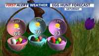

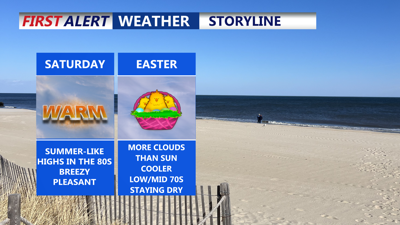
DELMARVA -- A southerly return flow will strengthen across the East Coast Saturday, drawing in unseasonably warm air. Temperatures are forecast to climb into the low to mid-80s across Delmarva, despite partly to mostly cloudy skies. The warm conditions and dry weather will make for an ideal backdrop to outdoor Easter egg hunts across the region.

Mix of sun and clouds Saturday with highs in the low to mid 80s, 70s along the coast.
Winds out of the southwest will remain steady throughout the day, with gusts reaching 20 to 30 MPH due to a tight pressure gradient ahead of an approaching cold front.
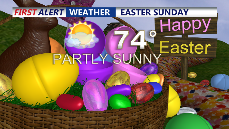
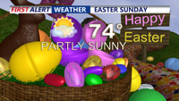
That cold front is expected to move through the area late Saturday night, shifting winds to the northwest and bringing a noticeable drop in temperatures. By Easter Sunday morning, temperatures will settle into the 50s and 60s, with daytime highs reaching the lower 70s inland and remaining in the 60s along the coast. The cooler trend will mark a 10- to 15-degree drop from Saturday’s warmth.

More clouds than sun Easter Sunday with highs in the low to mid 70s.
High pressure will briefly build over the region on Monday, bringing periods of sun and clouds and maintaining cooler temperatures more typical for early spring.
However, another low pressure system is expected to pass to the north Monday night, dragging a secondary cold front across Delmarva. This system carries a higher chance of producing scattered rain showers and possibly a rumble of thunder, with precipitation chances increasing across the area overnight.
Some showers may linger into Tuesday morning, but conditions from Tuesday through Thursday are expected to improve significantly. Surface high pressure will dominate midweek, resulting in dry and warm weather with highs in the 70s and lows in the 40s and 50s.
Looking ahead to the end of the week, we are watching for signs that the quiet pattern could shift. A breakdown in the mid-level ridge over the Northeast may allow for a more active upper-level pattern, increasing the potential for showers and thunderstorms by Friday and into the weekend.