




DELMARVA - As high pressure remains dominant over the Delmarva region, we can expect continued dry and warm conditions through late Monday and into Tuesday. Monday evening will bring clear skies with temperatures cooling down into the upper 40s to low 50s, thanks to calm winds and the influence of dry air.
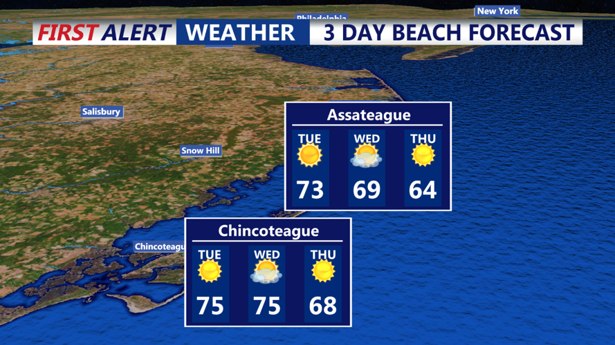
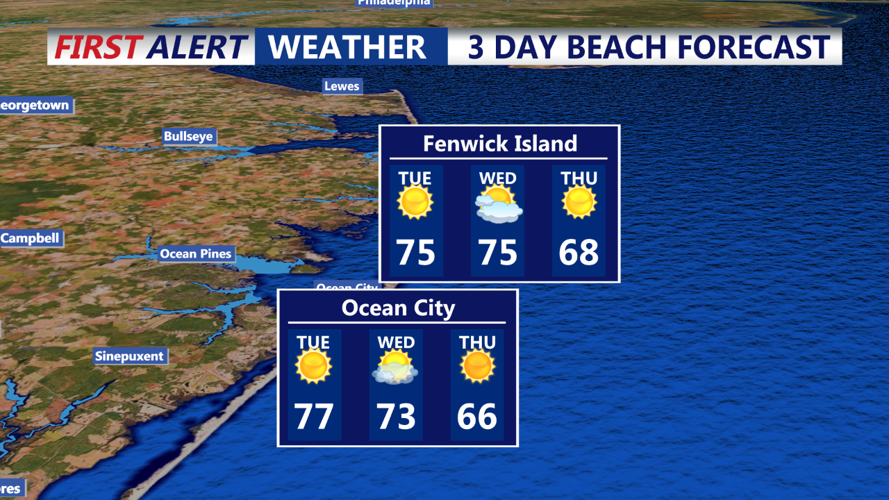
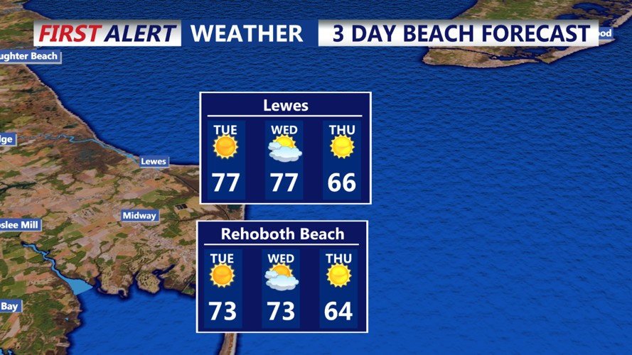
For Tuesday, dry conditions will continue with plenty of sunshine and near-record high temperatures expected. Highs will reach around 80 degrees inland, with slightly cooler conditions near the coast. Low humidity will persist, keeping fire weather concerns elevated. Winds will shift to a more southerly direction as high pressure begins to weaken and drift offshore by Tuesday afternoon. This will lead to a slight uptick in moisture, but it won’t be enough to bring any significant rain chances just yet.
Tuesday night will see mild temperatures remaining in the 50s as dew points gradually increase, raising the possibility of some patchy ground fog in lower-lying areas by early Wednesday morning. However, dry weather is set to continue until a strong cold front approaches mid-week, bringing the potential for showers late Wednesday into early Thursday.
Looking ahead, high pressure is expected to rebuild for Thursday and Friday, continuing the trend of dry, fall-like weather. Another cold front could bring a change by Saturday, with cooler conditions likely for the weekend.
Key Weather Points:
- Monday Evening: Clear skies, lows in the upper 40s to low 50s.
- Tuesday: Sunny with near-record highs around 80 degrees inland. Low humidity.
- Tuesday Night: Milder, lows in the 50s, with patchy fog possible in valleys.
- Wednesday: Continued dry, but a cold front approaches late in the day with rain chances increasing by Wednesday night.
