



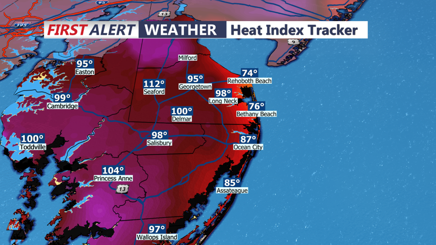
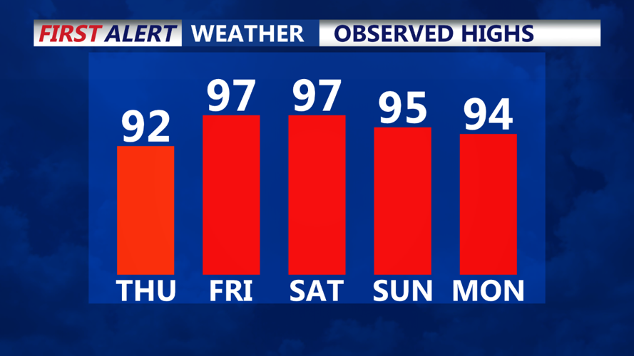
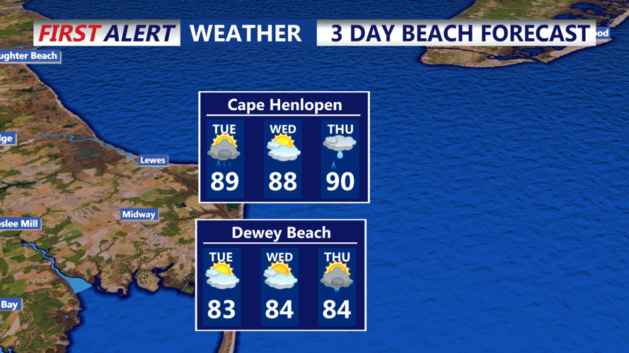

DELMARVA - A weak front should remain positioned across portions of Delmarva through late Tuesday. A cold front will then gradually approach Wednesday night and Thursday as the remnant low of Beryl tracks northwest of the region. The cold front may stall across our area Friday and Saturday before dissipating Sunday. Weak high pressure to our south may then build into the area Monday.
Near Term (Through Tuesday): Little relief is expected tonight as clouds increase, with lows only cooling to the lower to mid-70s for most areas and upper 70s to near 80 for the more urban environments. Dew points will remain or rebound into the low to mid-70s, leading to another muggy night with a chance for some patchy fog. There’s a slight chance of a shower or thunderstorm this evening, mainly north and west of the I-95 corridor.
