



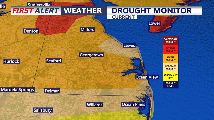

DELMARVA - Warm and humid conditions will continue from Sussex County south to Ocean City, Maryland, late Wednesday night through Thursday night as a warm front moves north of the region.
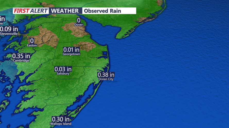
Most showers and thunderstorms are expected to diminish during the evening. However, a lingering shower or thunderstorm remains possible late Wednesday, and any storm could produce heavy rainfall over a short period.
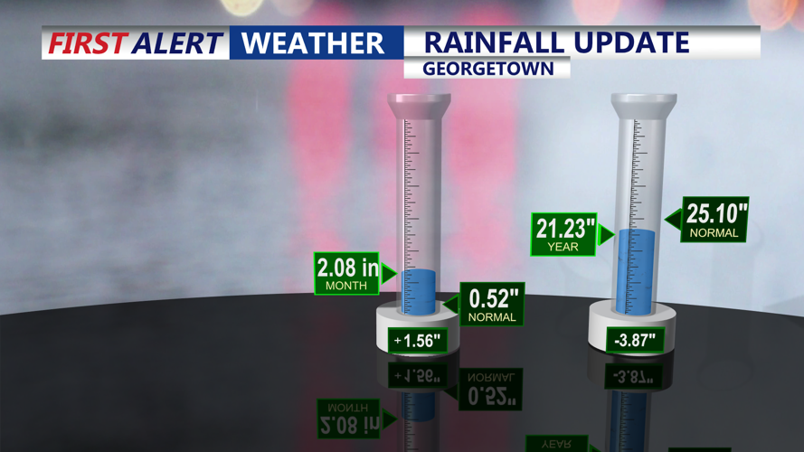
Moisture levels remain high enough for rainfall rates of an inch or more per hour in stronger storms. That could cause localized flooding in urban areas, low-lying locations and places with poor drainage. The Weather Prediction Center has placed the region under a marginal risk for excessive rainfall, the lowest of its four risk categories.
Low clouds and areas of light fog could develop overnight, reducing visibility in some locations. Conditions should gradually improve Thursday morning.
Thursday is expected to be hot and humid across southern Delaware and the Ocean City area as high pressure offshore produces a steady southerly flow. Most of the region should remain dry through the afternoon and evening, though an isolated shower cannot be ruled out.
Humid conditions will continue Thursday night, with low clouds or patchy fog possible again near the coast and inland waterways.
Heat advisories issued for Thursday and Friday cover areas farther north, including New Castle County, but do not include Sussex County or Ocean City. Even so, residents and visitors should take precautions during prolonged outdoor activity because of the high humidity.
