




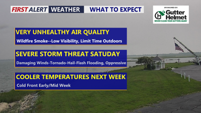
DELMARVA -- Dense smoke from Canadian wildfires will remain over the Delmarva Peninsula today, creating hazy skies, reduced visibility and unhealthy air quality across the region.
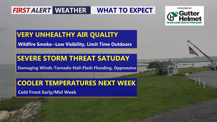
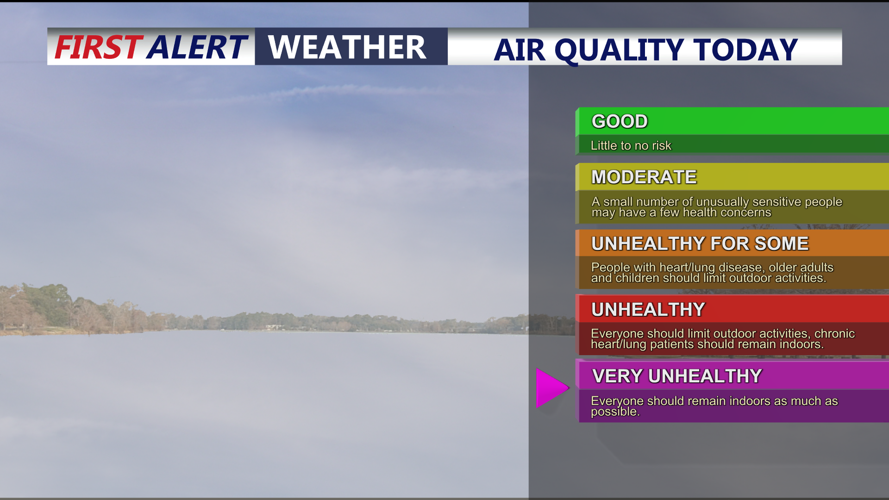
A Code Purple Air Quality Alert is in effect for all of Delmarva, meaning the air is considered very unhealthy for everyone. Residents should reduce the amount of time they spend outdoors, particularly when exercising or performing strenuous activities.

Unhealthy to Very Unhealthy levels through out all of Delmarva.
Children, older adults and people with asthma, heart disease or other respiratory conditions should take additional precautions. Keeping windows closed and running air conditioning with a clean filter may help reduce exposure indoors.
The smoke originated from wildfires burning in western Ontario and is expected to remain near the surface through Saturday. Skies will appear milky or unusually hazy, and the smell of smoke may be noticeable at times. Visibility could also be reduced, particularly in areas where the smoke becomes most concentrated.
Although the smoke has not generally reached the extreme levels observed across Delmarva on June 7, 2023, some locations have come relatively close. This is the peninsula’s most significant smoke event since that historic outbreak.
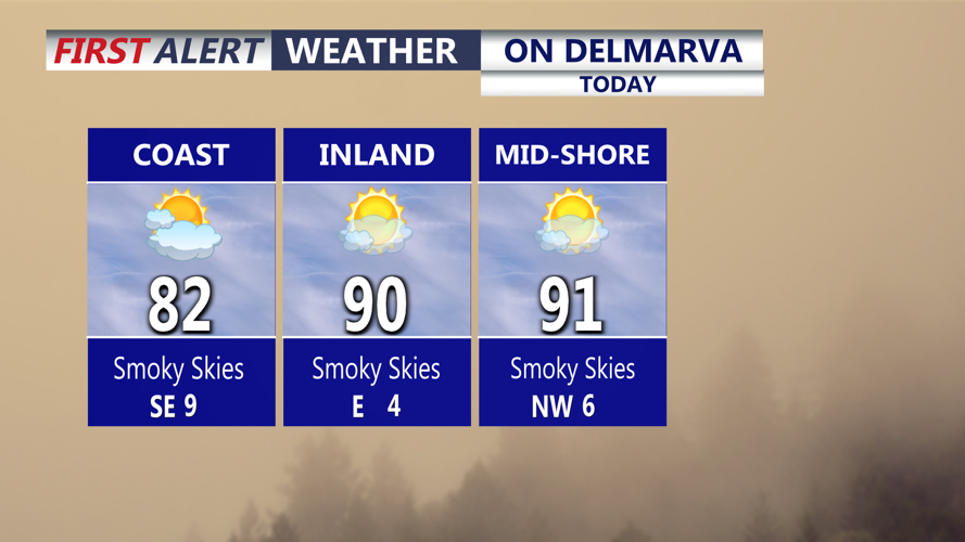
Temperatures today will reach the mid and upper 80s, with some inland communities approaching the lower 90s. The thick smoke could limit sunshine and keep temperatures slightly lower in places where the haze is most concentrated.

Smoky skies and temperatures in the upper 80s to low 90s, cooler at the coast.
Smoky and hazy conditions will continue tonight. Temperatures will fall into the upper 60s and lower 70s.
Attention will then turn to an active start to the weekend.
Most of Friday night should remain dry before warm and increasingly humid air moves across Delmarva Saturday. A few showers or thunderstorms could arrive Saturday morning as a warm front lifts through the region, although southern portions of the peninsula may miss much of this initial round.
A break in the rain is possible for several hours Saturday afternoon. During that period, temperatures will climb into the upper 80s and lower 90s while humidity levels increase sharply.
The combination of heat and moisture could produce heat index values near 100 degrees, with some portions of Delmarva feeling as hot as 105. Anyone attending outdoor events should take frequent breaks, drink water and closely monitor changing weather conditions.
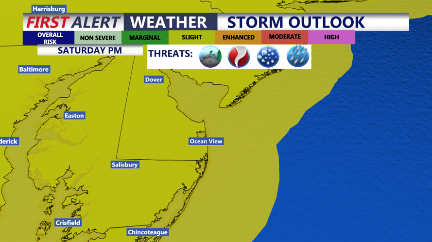
A more widespread and potentially dangerous round of thunderstorms is expected to develop from the middle or latter part of Saturday afternoon into Saturday evening. Storm Prediction Center has a SLIGHT risk (2 of 5) for the threat of severe storms.

Slight risk (2 of 5) for severe storms Saturday afternoon-evening, damaging winds, isolated tornado, hail and flash flooding on the table.
The strongest storms could produce damaging wind gusts and large hail. A few rotating storms may also develop, increasing the potential for isolated supercells with a tornado threat.
Very high atmospheric moisture will also support torrential rainfall. Some thunderstorms could produce rainfall rates exceeding 2 inches per hour, creating a risk of flash flooding
Thunderstorms should gradually weaken late Saturday evening and overnight as a cold front crosses Delmarva.
Sunday is expected to be much quieter, with mainly dry weather, seasonable temperatures and more comfortable humidity. A lingering shower or thunderstorm cannot be ruled out across southern Delaware and portions of Maryland’s Eastern Shore, but most communities should remain dry.
Monday looks dry and seasonable with temperatures in the mid 80s. Another front will move through Tuesday -Wednesday bringing a threat of scattered showers and storms. Temperatures fall slightly below average late week.
