




DELMARVA - A stalled frontal boundary will keep unsettled weather across Sussex County from Monday evening through Tuesday evening, bringing periods of rain, cooler temperatures and increasingly rough conditions along the Delaware coast.
Rain chances will increase Monday night as the stalled front lifts slightly closer to the region. Showers are expected to be the primary form of precipitation, with the greatest chance for rain from Monday night into Tuesday morning.
Showers will remain possible Tuesday, and an isolated thunderstorm could develop during the day. Temperatures will run below normal and may struggle to climb out of the 60s.
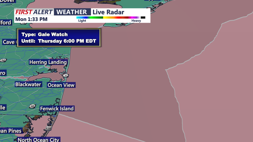
Northeast winds will strengthen Tuesday, especially near the coast. Winds along the Delaware Beaches are expected to reach 20 to 30 mph, while surf builds to 3 to 5 feet. Those conditions will create a high risk of dangerous rip currents Tuesday.
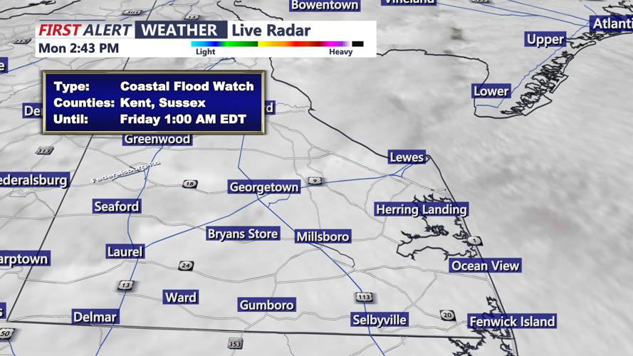
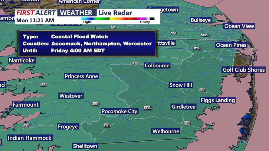
Coastal flooding will also become a concern Tuesday afternoon and evening. Minor tidal flooding is expected in portions of Sussex County, with persistent onshore winds pushing water into tidal waterways and back bays. Conditions could worsen later in the week as the prolonged onshore flow continues.
The unsettled pattern is expected to continue into midweek as a developing coastal low strengthens offshore. Several days of onshore flow could also contribute to beach erosion along the Delaware Beaches.
