




DELMARVA - Residents from Lewes and Rehoboth Beach south to Ocean City, Maryland, should prepare for a dramatic change in weather Friday, as unseasonably warm temperatures give way to potentially severe thunderstorms during the evening hours.
Friday morning will begin with mostly cloudy skies, scattered showers and areas of patchy fog as a warm front lifts north through the region. An isolated thunderstorm is also possible during the early morning hours.
Rain chances will gradually decrease by late morning, with clouds giving way to periods of sunshine around midday and into the early afternoon.
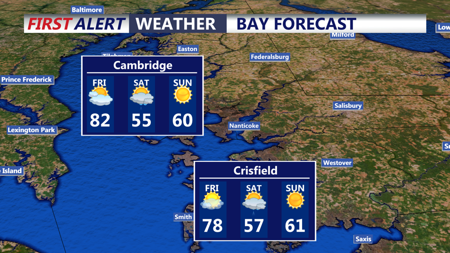
Temperatures will climb quickly under a strengthening southwest wind, with afternoon highs reaching the upper 70s to lower 80s across much of Sussex County. Some inland communities, including Georgetown, Millsboro and Seaford, could approach the mid-80s. Coastal locations from Rehoboth Beach to Ocean City may remain slightly cooler.
Humidity will also increase noticeably, with dew points rising into the middle and upper 60s, making conditions feel more like late summer than mid-October.
However, the warmer weather will be short-lived as a powerful cold front approaches from the west.
The Storm Prediction Center has placed the entire region under a Level 2 out of 5, or slight risk, for severe thunderstorms Friday afternoon and evening.
The primary concern will be damaging straight-line wind gusts accompanying a line of thunderstorms moving eastward across the Delmarva Peninsula. Forecasters also indicate that a brief, isolated tornado cannot be completely ruled out.
The most likely arrival time for stronger thunderstorms across Sussex County and the coastal communities extending south to Ocean City is between 8 and 10 p.m. Friday.
Although the storms may weaken somewhat as they approach the Atlantic coastline after sunset, isolated severe weather will remain possible.
Residents should prepare for sudden gusty winds, heavy rainfall, lightning and rapidly changing conditions during the evening. Stronger storms could produce localized tree damage and isolated power outages.
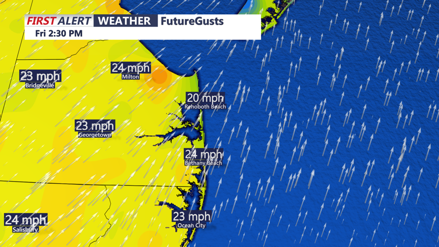
Boaters and those planning activities along the coast should also exercise caution. A Small Craft Advisory takes effect at 3 p.m. Friday for Atlantic coastal waters as southwest winds increase to 17 to 23 mph, with gusts reaching 29 to 35 mph. Seas are expected to range from 3 to 5 feet.
Conditions will become increasingly hazardous on the water Friday night as the cold front moves offshore.
Showers and thunderstorms should gradually move east of the coast late Friday evening, with improving conditions expected overnight into early Saturday morning.
Behind the front, winds will shift to the northwest, ushering in a noticeably cooler and drier air mass. Temperatures will begin falling overnight, with early Saturday morning readings generally dropping into the 40s and lower 50s across the region.
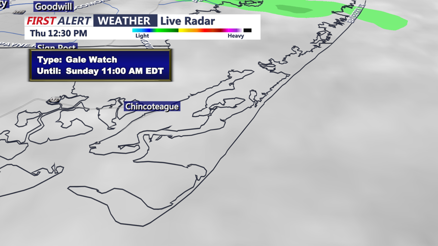
Saturday will feature a return to sunshine, but gusty northwest winds could reach 23 to 35 mph. A Gale Watch remains in effect for coastal waters Saturday, where stronger winds and rough seas are expected.
Looking farther ahead, Saturday night could bring some of the coldest temperatures of the season so far. Inland communities may experience lows in the middle and upper 30s, while the immediate coastline should remain somewhat milder, with temperatures generally in the 40s.
Patchy frost cannot be ruled out in sheltered inland areas, although lingering winds and dry air may limit widespread development.
High pressure is expected to bring dry, quieter weather Sunday and into much of next week, with temperatures gradually moderating.
Residents throughout Sussex County and the neighboring Maryland beaches should closely monitor forecast updates Friday, particularly during the evening hours when the severe weather threat will be greatest.
