


DELMARVA - Late Wednesday evening through late Thursday evening, Sussex County will experience a shift from tranquil, seasonably cold weather to blustery, sharply colder conditions as an arctic front moves through the region.
High pressure over the eastern United States will maintain mostly clear skies Wednesday night, aside from thin high clouds. Lows will fall into the low to mid-twenties across Sussex County, with lighter winds allowing for an even colder feel in spots.
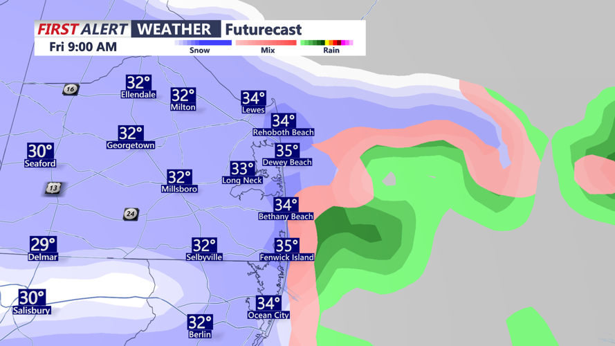
On Thursday, conditions change quickly as a cold front crosses Delaware. The front will be mostly dry locally, though snow showers north of the region may briefly develop along and north of Interstate eighty. The main local impact will be increasing northwesterly winds behind the front, with gusts between twenty-five and thirty-five miles per hour expected through the afternoon.
Highs will range from the upper thirties to low forties, but wind chills will make it feel noticeably colder. By Thursday evening, the arctic air mass settles in and winds gradually diminish, setting the stage for a frigid Thursday night across the Mid-Atlantic.