



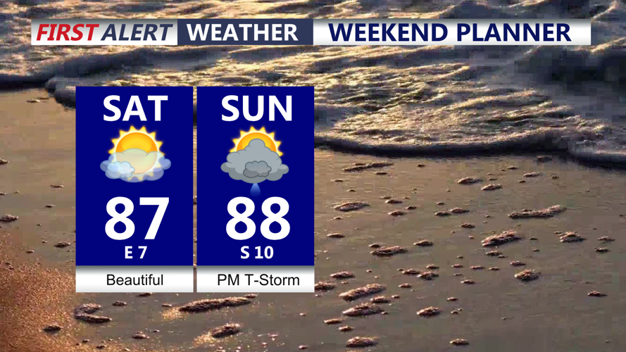
DELMARVA - The rest of your Saturday is expected to be the driest, coolest and least humid day of the weekend. High pressure will settle over Delmarva, bringing mostly sunny skies and highs generally in the mid 80s. Overnight, expect mild and muggy conditions with lows in the 70s.

Mostly sunny beautiful Saturday, weekend could end on the stormy side.
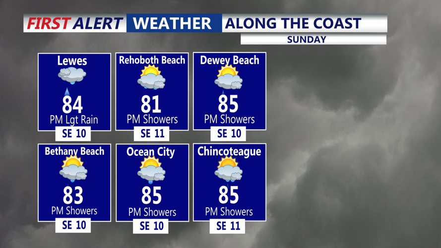
The quiet weather will not last through the entire weekend. High pressure will shift offshore Sunday, allowing warmer and more humid air to return. Temperatures are expected to climb into the mid to upper 80s.

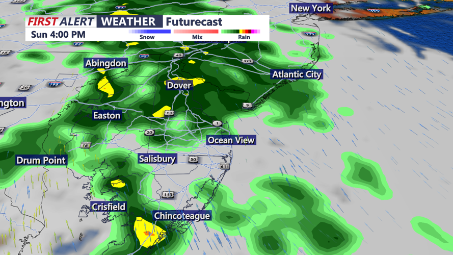
Much of Sunday morning could remain dry, although there is still uncertainty over exactly when the next round of rain reaches Delmarva. Some forecast guidance brings showers into the region as early as Sunday morning, while other guidance holds the rain off until the afternoon.

The next storm system will move toward the Mid-Atlantic Sunday into Monday, bringing another opportunity for showers and thunderstorms across Delmarva.
Rain is not expected to fall continuously throughout that period, but the timing of individual rounds remains uncertain.
The primary concern with any stronger thunderstorms will be heavy rainfall. Moisture levels are expected to increase significantly, creating the potential for torrential downpours and localized flash flooding.

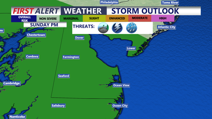
Depending on when storms move across Delmarva, enough instability could also develop for a few stronger or potentially severe thunderstorms. The exact timing and magnitude of that threat remain uncertain. The Storm Prediction Center has the peninsula under a MARGINAL (1 of 5) risk for severe storms, damaging winds being the primary threat.
Residents and visitors across Delmarva should take advantage of Saturday’s quieter weather while continuing to monitor the forecast for changes in storm timing and rainfall potential Sunday and Monday.


