



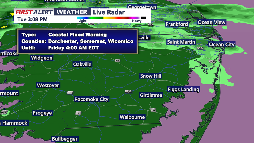

DELMARVA - Coastal conditions will become increasingly hazardous late Tuesday night through late Wednesday night, especially along Delaware’s Atlantic beaches, as a developing offshore storm strengthens northeast winds and pushes water toward the coast.
Periods of rain will continue across parts of Delmarva late Tuesday night before gradually diminishing by Wednesday morning. A strengthening low-pressure system off the Eastern Seaboard will then become the main weather influence, producing persistent northeast to north winds along the coast.
The National Weather Service has several alerts in effect for Delaware’s Atlantic coast, including a Wind Advisory, Coastal Flood Warning, High Surf Advisory and a High Risk for Rip Currents.
A Wind Advisory is in effect for the Delaware Beaches from 6 a.m. Wednesday until midnight Wednesday night. Sustained winds of 25 to 35 mph are expected along the immediate coast, with some gusts approaching 45 mph. For residents and visitors, that means unsecured outdoor objects could be blown around, driving may become difficult for high-profile vehicles and tree limbs could come down.
A Coastal Flood Warning begins Wednesday afternoon for coastal portions of Delaware and continues into early Friday. Unlike a coastal flood advisory, which generally signals minor flooding, a warning means more significant flooding is expected. Moderate tidal flooding could inundate low-lying roads, parking areas and properties near bays, tidal waterways and back bays. Persistent northeast winds will push water toward the coast, while increasingly high astronomical tides ahead of Saturday’s full moon will add to water levels.
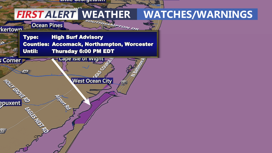
Beach conditions will also be dangerous from Lewes and Rehoboth Beach south through Dewey Beach, Bethany Beach and Fenwick Island. A High Surf Advisory remains in effect through Friday, with breaking waves expected to reach roughly 6 to 12 feet. In simple terms, waves will be much larger and more forceful than normal, increasing the threat of beach erosion and making conditions near the water dangerous.
A High Risk for Rip Currents also remains in effect through Friday afternoon along Delaware’s ocean beaches. This is the highest rip-current risk category and means powerful, potentially life-threatening currents are expected. Entering the ocean is strongly discouraged because even experienced swimmers can quickly be pulled away from shore.
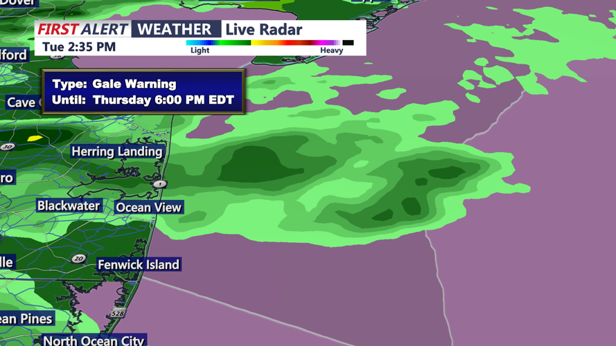
Conditions offshore will be dangerous as well. Gale-force wind gusts are expected over the coastal waters and Delaware Bay, with the strongest winds Wednesday into Wednesday night. Seas could build to 8 to 15 feet. A Gale Warning means winds will be strong enough to create dangerous conditions for recreational and commercial vessels, and inexperienced boaters should remain in port.
Farther south along the Atlantic-facing Maryland coast, including Ocean City, the provided Mount Holly National Weather Service bulletin lists no Maryland land-based watches or warnings. The bulletin’s land-based coastal alerts specifically cover Delaware and New Jersey, so residents and visitors farther south should continue monitoring alerts issued for their local forecast area.
Wednesday is expected to be mostly dry after any lingering morning showers, but northeast winds will strengthen considerably near the coast. The combination of strong winds, high surf, dangerous rip currents and rising tidal water will make the Delaware beaches the primary area of concern through Wednesday night.
