





DELMARVA - Conditions along the Delaware and Maryland coast will become increasingly hazardous Friday as a strengthening offshore storm moves north toward the Mid-Atlantic.
From Prime Hook through Lewes, Rehoboth Beach, Dewey Beach, Bethany Beach, Fenwick Island and south toward Ocean City, persistent north to northeast winds will continue through Friday before strengthening further Friday night.
A Wind Advisory remains in effect for the beaches through 6 p.m. Friday. Sustained winds near the immediate coast could reach 25 to 35 mph with gusts of 40 to 50 mph at times. Inland areas will also be windy, though gusts are generally expected to be lower.
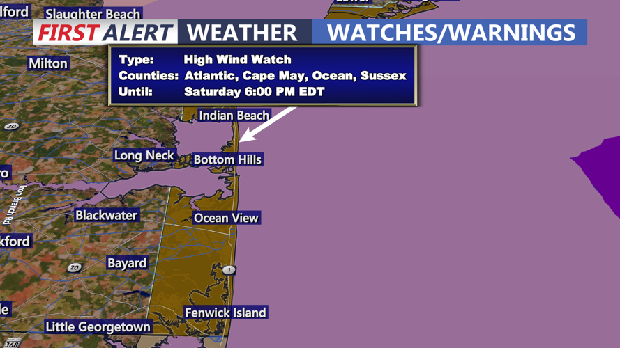
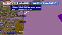
The greater concern arrives Friday evening into early Saturday as the coastal storm reaches peak strength near the region. A High Wind Watch begins at 6 p.m. Friday and continues through Saturday afternoon. Sustained winds of 30 to 40 mph with gusts potentially reaching 60 mph are possible along the immediate coastline.
The precise storm track remains important. A track closer to the coast would increase the potential for stronger winds and greater coastal impacts, while a track farther offshore would lessen those effects.
Coastal flooding will remain a significant concern through Friday night. Strong northeast winds over several days will continue pushing water into tidal waterways and back bays. Astronomical tides will also be rising ahead of Saturday’s full moon, increasing the potential for repeated rounds of flooding around high tide.
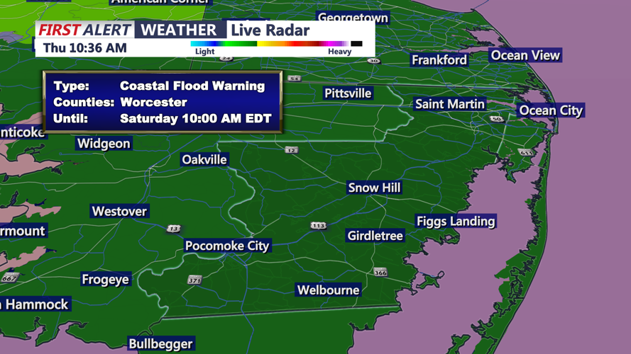
A Coastal Flood Warning remains in effect for the coastal zones into early Saturday. Residents in low-lying communities should be prepared for flooded roads, water in normally dry areas near tidal waterways and difficult travel around high tide.
Conditions at the beaches will be especially dangerous. Breaking waves of 6 to 12 feet are expected through Saturday, along with life-threatening rip currents. Beach erosion is likely, and the combination of high water and powerful surf could lead to breaches in some sand dunes. A High Surf Advisory and a High Risk for Rip Currents remain in effect through Saturday evening.
The ocean should be considered extremely dangerous for swimmers through this period.
Rain chances will also increase Friday night and early Saturday as the storm draws closer to the coast. The most widespread rainfall is expected during the weekend, though freshwater flooding from rainfall alone is not expected to be the primary concern.
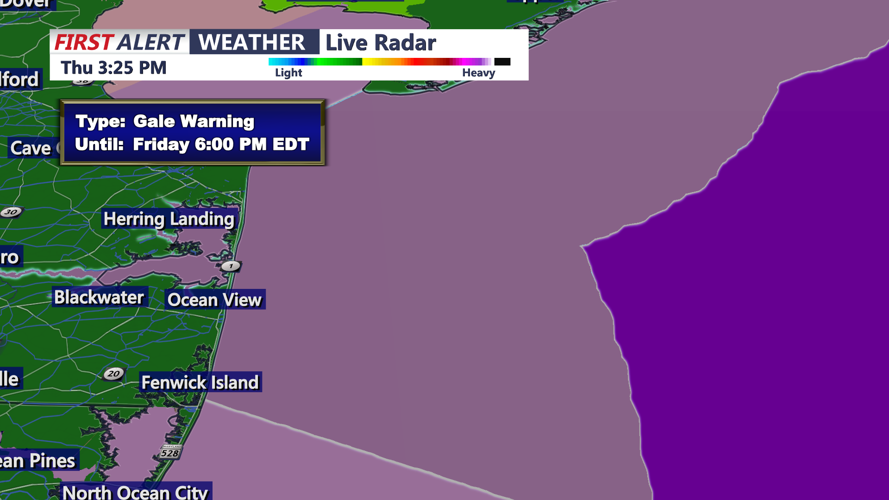
Marine conditions will deteriorate sharply. A Gale Warning remains in effect for nearshore Atlantic waters through Friday evening, followed by a Storm Watch Friday evening into Saturday afternoon. Offshore waters are under a Storm Warning from 6 a.m. Friday through 6 p.m. Saturday, with storm-force gusts possible and seas building to 8 to 15 feet.
By early Saturday morning, the combination of strong winds, high surf, tidal flooding and periods of rain could make this one of the more hazardous stretches of the storm for communities along the coast.
