



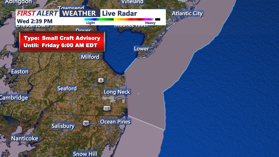
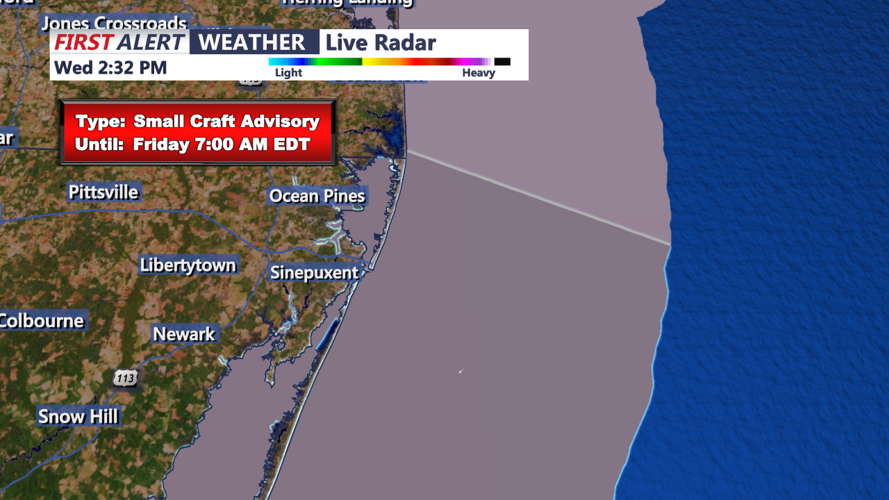
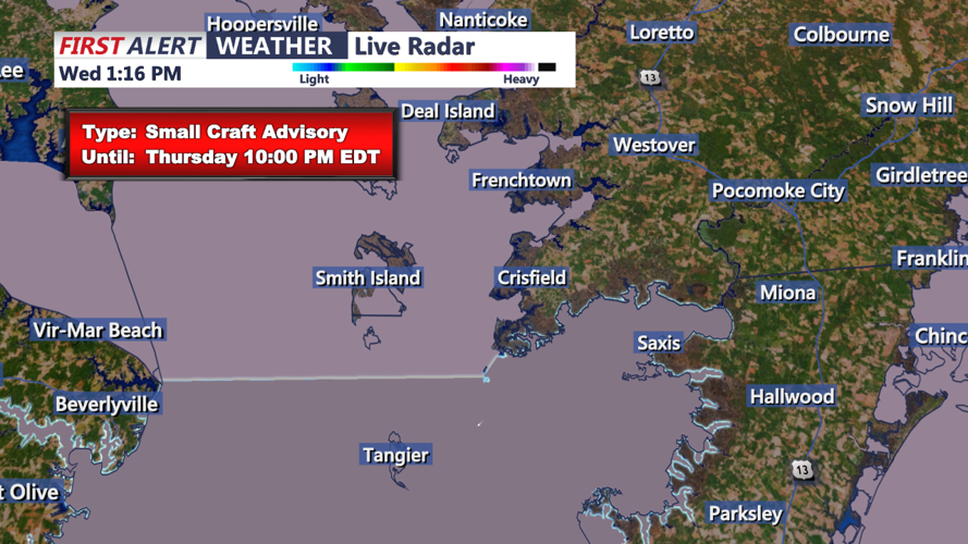

DELMARVA - A cold front will approach the Delmarva region late tonight, accompanied by a band of clouds. While there’s limited moisture with this system, the chance for showers remains very low. A few light sprinkles can’t be ruled out, but most areas will stay dry. As the cold front moves through, expect winds to shift from the southwest to the north-northwest overnight, with a noticeable drop in temperatures. Lows will range from the upper 40s to low 50s across the region.
Early Thursday Morning: The cold front will clear the area by early Thursday morning, and cooler air will start filtering in behind it. Winds will pick up from the north-northwest, with gusts reaching 25-30 mph at times. The morning will start off partly cloudy but skies will quickly clear as the day progresses. Temperatures will remain on the cooler side, ranging in the mid-50s as the sun rises.
Mid-Morning: As we move into mid-morning, conditions will continue to improve with mostly sunny skies taking over. The gusty winds will persist, especially through the late morning hours. Temperatures will start to rebound but remain noticeably cooler compared to recent days, hovering in the mid-to-upper 50s.
Thursday Afternoon: By the afternoon, sunshine will dominate the skies. Temperatures will peak in the mid-60s, which is close to seasonal averages for this time of year. The strong north-northwest winds will gradually diminish by late afternoon, but gusts of 20-25 mph may still be felt. A much drier air mass will also move in, with dew points falling into the 30s. This, combined with dry ground conditions, will elevate fire weather concerns throughout the afternoon.
Thursday Evening: As evening approaches, winds will continue to ease, and temperatures will begin to drop. Expect clear skies and calm conditions overnight with lows dipping back into the upper 40s to low 50s. It will be a cool, crisp night as high pressure settles into the region.
