


DELMARVA - A cold front sweeping across the East Coast is set to move through Sussex County and Ocean City late Sunday into early Monday, bringing the chance of isolated showers before more comfortable weather arrives for the first half of the week.
The front, currently pushing eastward from Pennsylvania and New York, will cross Delmarva by Monday morning. While some isolated showers and thunderstorms are possible overnight, rain chances have diminished compared to earlier forecasts. Patchy fog and low clouds may develop before sunrise, with overnight lows in the low to mid-60s.
By Monday afternoon, skies will gradually clear as the front exits offshore. Cooler and drier air will begin filtering into the region, although dew points may remain near 60 until later in the day. Highs Monday will reach the low to mid-80s.
High pressure will build in behind the front Monday night through Tuesday, keeping conditions dry. While some scattered showers may try to develop to the west on Tuesday, most are expected to dissipate before reaching the coast. Temperatures will run near or slightly below seasonal averages, with highs in the upper 70s to low 80s and overnight lows dipping into the upper 50s to low 60s.
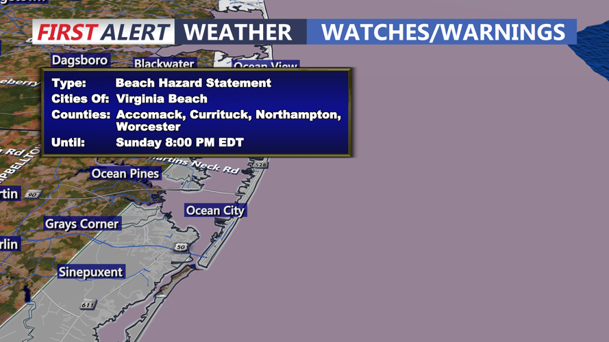
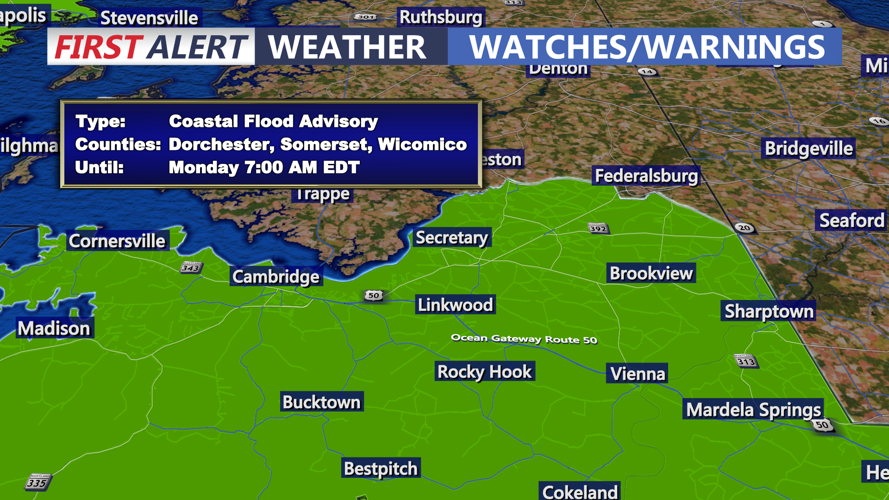
Recent flooding concerns in low-lying coastal areas, including portions of Sussex County and Ocean City, are expected to ease as drier weather and light winds dominate through midweek. Tidal flooding risks remain minimal, with forecasters projecting calmer seas and improved beach conditions by Tuesday.
Looking ahead, high pressure will remain in control through Thursday before another cold front approaches late Friday into Saturday, which could bring a slight chance of showers to the area heading into next weekend.