


DELMARVA - Early Friday morning through early Sunday morning in Sussex County will begin tranquil before a more complex and colder winter pattern arrives.
High pressure dominates early Friday, providing clear skies, light west winds, and dry conditions. Temperatures will remain below normal, with morning readings in the low to mid twenties and afternoon highs struggling into the low to mid thirties. Wind chills will stay a few degrees lower throughout the day, and skies will gradually see increasing clouds late Friday night as the next system approaches.
By Saturday, conditions remain mostly quiet through the day even as clouds continue to build. Highs will moderate slightly into the upper thirties to low forties, but the calm setup begins to shift Saturday evening as an arctic front pushes in from the northwest. At the same time, a developing wave of low pressure is expected to form along the boundary.
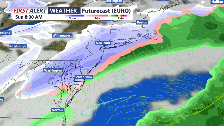
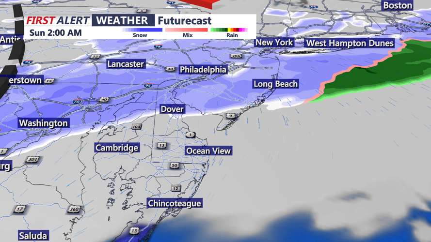
Though forecast uncertainty remains regarding the storm’s exact track and strength, guidance continues to indicate that precipitation will begin late Saturday evening or overnight into early Sunday. Most of Sussex County is expected to see mainly snow at onset, though brief mixing with rain is possible near the coast. Snow is forecast to become more widespread overnight, with a general one to three inches likely across the region. Some areas could see locally higher totals if the system strengthens and tracks favorably, though confidence on exact placement remains low.
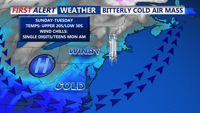
Snow should continue into early Sunday morning before gradually tapering. Temperatures overnight Saturday will fall into the twenties, allowing snow to accumulate efficiently. Early Sunday morning will be cold and breezy as the system departs, with northwest winds increasing and wind chills dropping into the single digits and teens.
