




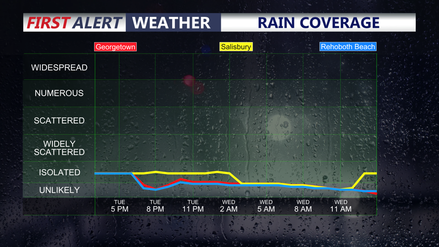


DELMARVA - A cool, cloudy pattern will hold across Sussex County late Tuesday evening, with a few stray showers or a thunderstorm still possible before conditions turn mainly quiet overnight.
A stubborn marine layer will keep skies mostly cloudy through the night. Recent rainfall has added some low-level moisture, so patchy fog may develop in spots by early Wednesday, especially in areas that picked up rain or remain damp overnight. Lows will settle in the upper 60s to low 70s.
The break in the weather arrives Wednesday as the stalled boundary that has lingered near Delmarva finally pushes farther south. High pressure will build in behind it, allowing clouds to thin and sunshine to return through the day. Temperatures will rebound into the upper 70s to low and mid-80s, making Wednesday one of the more comfortable days of the week.
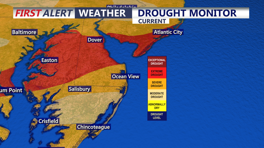
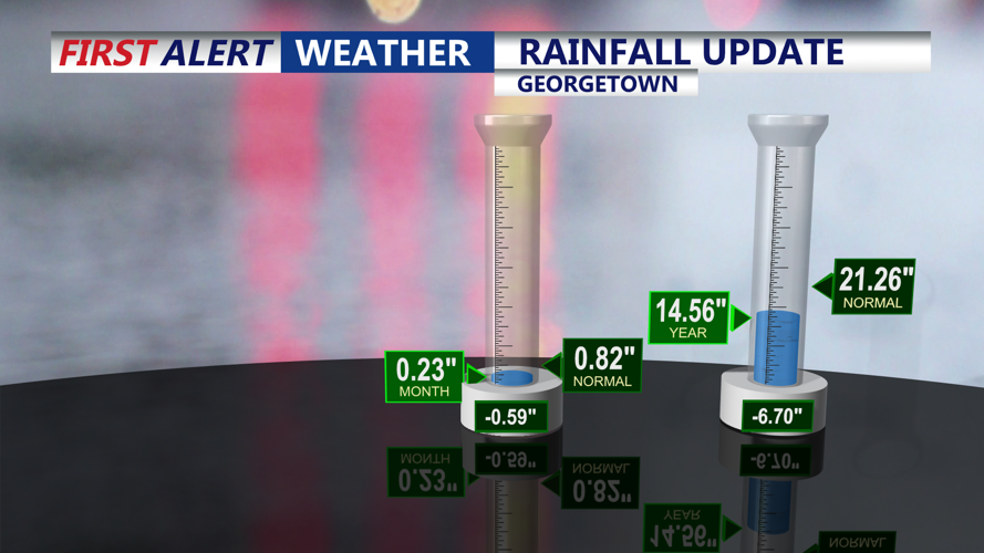
The sunshine, however, should not be mistaken for a full recovery from Delmarva’s drought concerns. Recent showers have helped parts of the peninsula, including southern Delmarva, but the long-term dry pattern has left lingering stress on lawns, crops, gardens and groundwater. Delaware’s drought report in June noted that the state had gone through 10 straight months of below-normal statewide precipitation, with the August-to-May period ranking as the driest such stretch on record.
The next meaningful chance for drought relief comes after Wednesday. Showers and thunderstorms are expected to return Thursday through Saturday as a cold front approaches and crosses the region. Some storms may produce heavy downpours, but rainfall may be uneven, meaning some neighborhoods could see beneficial rain while others miss out.
For Sussex County, late Tuesday night through Wednesday brings a short-lived calm: cloudy and cool early, patchy fog possible overnight, then a brighter and warmer Wednesday before the next unsettled stretch arrives.
