





DELMARVA - A stalled frontal boundary will keep unsettled weather through Tuesday, with periods of rain, cool temperatures and increasing northeast winds.
Showers are expected during the morning as the front remains just south of the region. Rain will be the main form of precipitation, although an isolated thunderstorm could develop over Delmarva during the day Tuesday.
Temperatures will stay well below normal, with afternoon readings likely struggling to get out of the 60s. Clouds and occasional rain will add to the cool feel through much of the day.
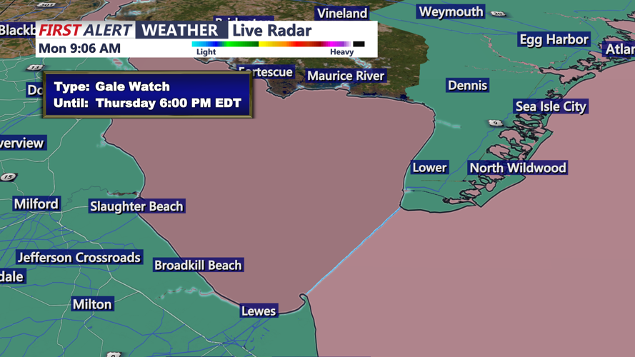
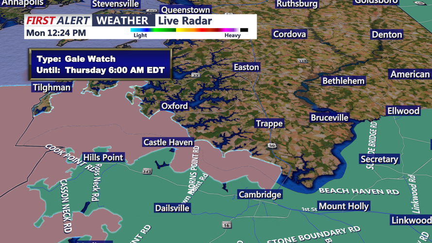
Northeast winds will strengthen Tuesday, particularly near the Delaware Beaches. Winds along the coast could reach 20 to 30 mph as surf builds to 3 to 5 feet, producing a high risk of dangerous rip currents.
Minor tidal flooding will also be possible during Tuesday afternoon and evening. Persistent onshore winds are expected to push water into tidal tributaries and back bays, with the coastal flooding threat increasing later in the week.
By Tuesday night into early Wednesday, rain chances should begin to decrease as the frontal boundary shifts farther south. However, gusty northeast winds and low clouds could linger as a developing coastal storm strengthens offshore.
