


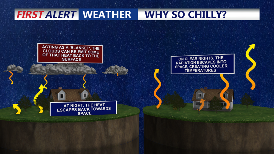


DELMARVA - As the sun sets Monday evening, cooler, drier air will begin filtering into Sussex County on a strong northwest flow, bringing clear skies and setting the stage for radiational cooling. Temperatures across the beach cities, including Rehoboth Beach, Dewey Beach, and Bethany Beach, are expected to dip into the low to mid-40s overnight. While the inland areas of Sussex County may see some patchy frost, the beach towns are less likely to experience frost due to the warming influence of the ocean nearby. However, residents further inland should take precautions to protect sensitive plants, as temperatures could drop as low as the high 30s in more sheltered locations.
Clouds are forecast to move in during the latter half of the night, which may help to slightly moderate the temperature drop. These high clouds will limit frost potential along the immediate coastline but may still allow for a crisp, cool start to the morning.
Tuesday Afternoon:
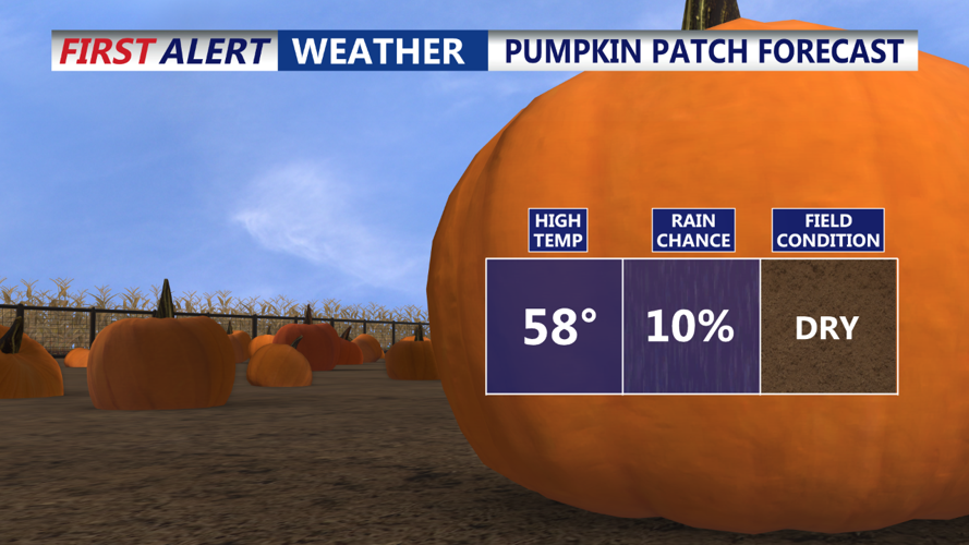
On Tuesday, Sussex County will remain largely dry as high pressure builds in from the west, though a couple of weak surface troughs will cross the area. This will bring a fair amount of cloud cover, but rain is unlikely. Beach towns can expect partly to mostly cloudy skies with highs reaching the upper 50s to low 60s. Winds will continue to come from the northwest, although they will be calmer than on Monday. Breezes may still be noticeable along the coastline, adding a slight chill to the afternoon air, but conditions should feel pleasant overall.
Tuesday Evening:
As evening approaches, skies will begin to clear as high pressure settles in further. Temperatures will start to drop again, with lows expected in the low 40s along the coast and potentially into the upper 30s inland. The night will be mostly clear, with a lighter northwest breeze, creating ideal conditions for another cool October evening.
Looking Ahead:
For the rest of the week, high pressure will continue to dominate the weather pattern over Sussex County, bringing dry and mostly sunny conditions with gradually warming temperatures through the weekend. Any chance of rain will be minimal, as a stable high-pressure system keeps conditions calm and settled across the region.
