




DELMARVA - After an unusually warm Wednesday, a cold front will bring a dramatic drop in temperatures across Sussex County and Delaware's beach communities Thursday, setting the stage for a stronger storm system Friday and the coldest weather of the season this weekend.
A few lingering showers will remain possible Wednesday evening as a cold front pushes south across Delmarva. Rain chances will gradually diminish overnight, although clouds may persist across southern Sussex County. Temperatures will fall into the upper 50s and lower 60s, with cooler air gradually spreading across the region.
Thursday will feel significantly different from Wednesday's summerlike warmth. A mix of sunshine and clouds is expected, with afternoon highs reaching only the lower to middle 60s. Onshore winds will reinforce the cooler conditions, particularly in coastal communities including Lewes, Rehoboth Beach, Dewey Beach, Bethany Beach and Fenwick Island.
Most of Thursday should remain dry, although a few showers could develop late in the afternoon or evening as the frontal boundary begins moving north again.
Conditions will become increasingly unsettled Thursday night as warmer, more humid air returns ahead of a powerful storm system approaching from the west. Showers and isolated thunderstorms could develop overnight into early Friday morning.
The greater concern arrives Friday afternoon and evening when a strong cold front sweeps across Delmarva. The front is currently expected to pass through the region between approximately 4 and 8 p.m., potentially producing a line of showers and thunderstorms.
Some thunderstorms could become strong or severe, with damaging wind gusts the primary concern. Outside thunderstorms, southwest winds could gust between 20 and 30 mph Friday.
The strongest winds are now expected after midnight Friday into Saturday morning, when gusts of 30 to 40 mph appear likely. A few stronger gusts remain possible, although the overall wind threat has decreased somewhat compared with earlier forecasts.
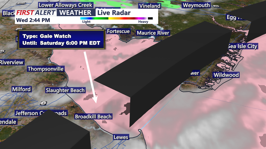
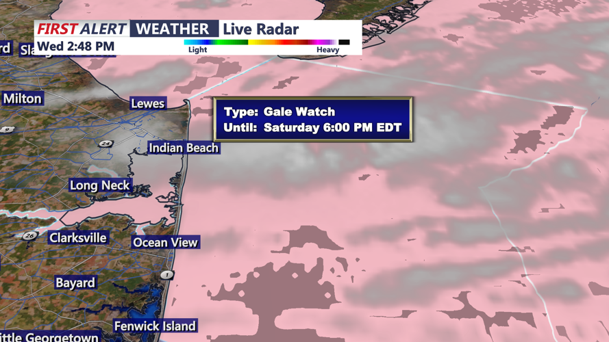
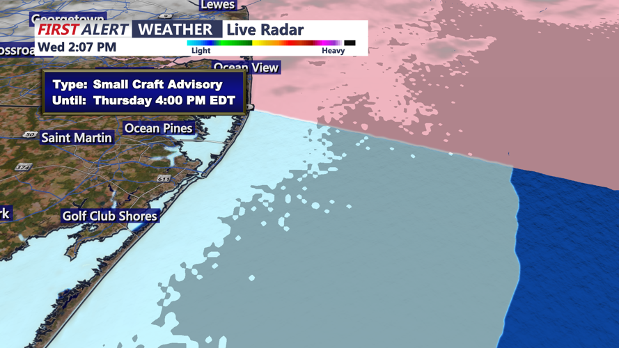
Marine conditions will also deteriorate. Small Craft Advisories have been issued for Atlantic coastal waters from Cape May to Fenwick Island early Thursday morning. A Gale Watch is in effect for all Atlantic coastal waters and Delaware Bay Friday night through Saturday, signaling the potential for sustained winds of 34 to 47 mph.
Behind Friday's front, temperatures will tumble into the 40s overnight, followed by a chilly Saturday with highs struggling to reach the lower to middle 50s. Gusty northwest winds will make conditions feel even colder.
By Saturday night, high pressure and clearing skies will allow temperatures to drop into the 30s across much of the region. Patchy frost will be possible in Sussex County, particularly in sheltered inland locations away from the beaches. A widespread freeze is not currently expected locally, but residents with sensitive outdoor plants should monitor the forecast.
Sunday will bring improving conditions, lighter winds and afternoon temperatures recovering into the middle 50s to near 60 degrees. A gradual warming trend will follow early next week, with highs returning to the 60s.
