





DELMARVA - Dangerous heat and humidity will continue across Sussex County and southern Delmarva late Friday night into Saturday, keeping heat concerns high for the holiday weekend.
After 10 p.m. Friday, conditions will remain very warm and muggy across the region, with temperatures only slowly falling through the 80s overnight. Any storms late Friday evening should be isolated locally, with the better organized severe weather risk staying farther north toward the Philadelphia region, the Delaware Valley and parts of New Jersey.
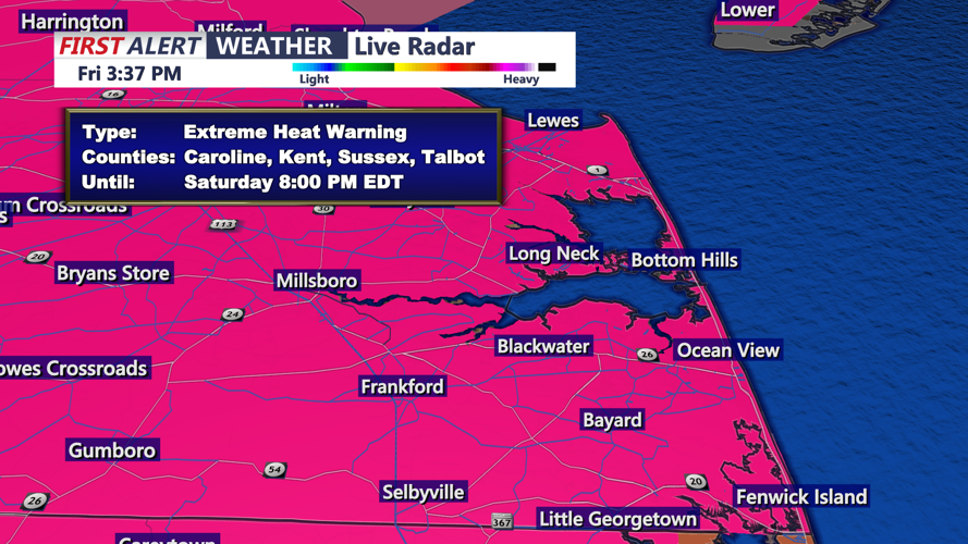
Saturday will bring another stifling day across Delmarva as the ridge of high pressure responsible for the heat begins to weaken but does not fully move away. Highs are expected to climb into the mid-90s to around 100 degrees, with the immediate coastline also turning hot before a sea breeze develops. Heat index values are expected to reach 100 to 108 degrees, and an Extreme Heat Warning remains in effect through 8 p.m. Saturday.
The heat will be especially concerning because of several straight days of extreme temperatures and humidity, along with busy outdoor Fourth of July weekend events. Residents and visitors should limit strenuous outdoor activity, drink plenty of water and check on older adults, children and pets.
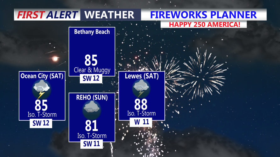
Storm chances will increase Saturday afternoon and evening as the weather pattern begins to change. Scattered showers and thunderstorms could develop across Sussex County and southern Delmarva, and some storms may become strong to severe. Damaging wind gusts will be the main concern with any stronger storms.
Any Saturday evening fireworks, beach plans or outdoor gatherings could be interrupted by storms in addition to the dangerous heat. Conditions are expected to turn somewhat cooler Sunday, but showers and storms will become more widespread, with a growing concern for heavy rain and possible flash flooding Sunday into Monday as a slow-moving front settles near the region.
