



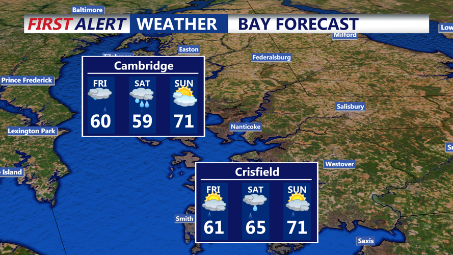



DELMARVA - Rain chances will increase across Sussex County late Thursday night into Friday as cooler air settles over the region and a front remains south of the area.
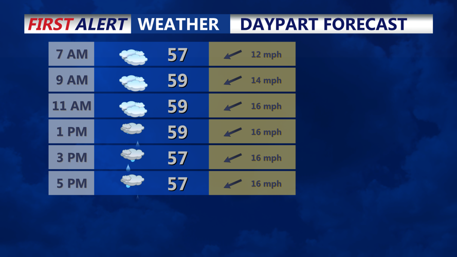
Showers may continue to shift east and south late Thursday before weakening overnight. Temperatures will remain significantly cooler than recent days, with a northeast breeze helping keep conditions chilly along the coast.
By Friday, an east-northeast wind will increase to 15 to 20 mph, with gusts of 25 to 30 mph possible. Seas are expected to build to 4 to 6 feet, with a southeast swell of 10 to 13 seconds and breaking waves of 2 to 4 feet.
A high risk of dangerous rip currents is expected Friday along the Delaware coast, including Sussex County beaches. Cold ocean water temperatures, mainly in the 50s to low 60s, could quickly cause hypothermia or physical incapacitation for anyone caught in the water.
A Small Craft Advisory for ocean waters was delayed until Thursday evening as rough marine conditions develop.
Showers are expected to fill in again later Friday, especially across southern areas, before spreading north Friday night. Rainfall through Friday night is expected to total about one-tenth to one-half inch, with heavier rain likely Saturday into Sunday.
Holiday weekend will remain unsettled, with periods of needed rain, below-average temperatures and a continued onshore breeze before some warming arrives later in the weekend.
