



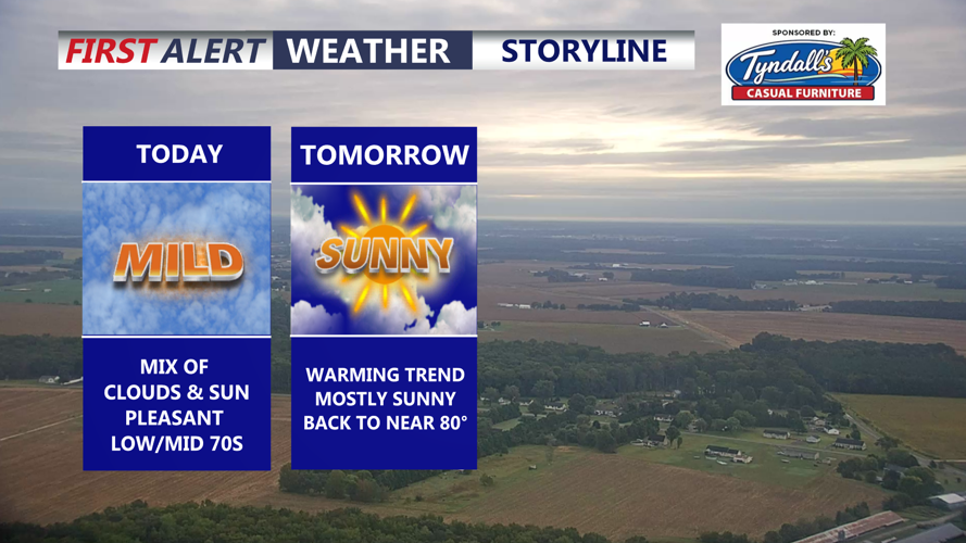
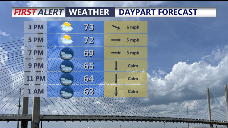

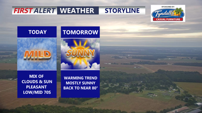
DELMARVA -- Pleasant Tuesday across the area with a mix of sun and clouds, temperatures in the low to mid 70s, winds out of the west 5 to 10 mph. High pressure is building into the region as dry conditions are expected through the end of the week.

Looking at mix of clouds and sun, highs in the low to mid 70s.
Tonight look for partly cloudy skies as we dip into the upper 50s to low 60s.

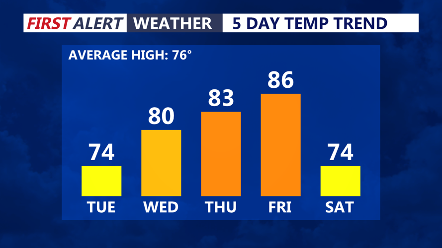
Gradually turning warmer through late week.
Wednesday will be a beautiful day on the peninsula as temperatures get back to near 80 under mostly sunny skies and that warming trend will persist through Friday as southwest flow returns by Thursday and Friday. Will rise into the mid to upper 80s, humidity will creep up as well. A taste of summer as we head into October.

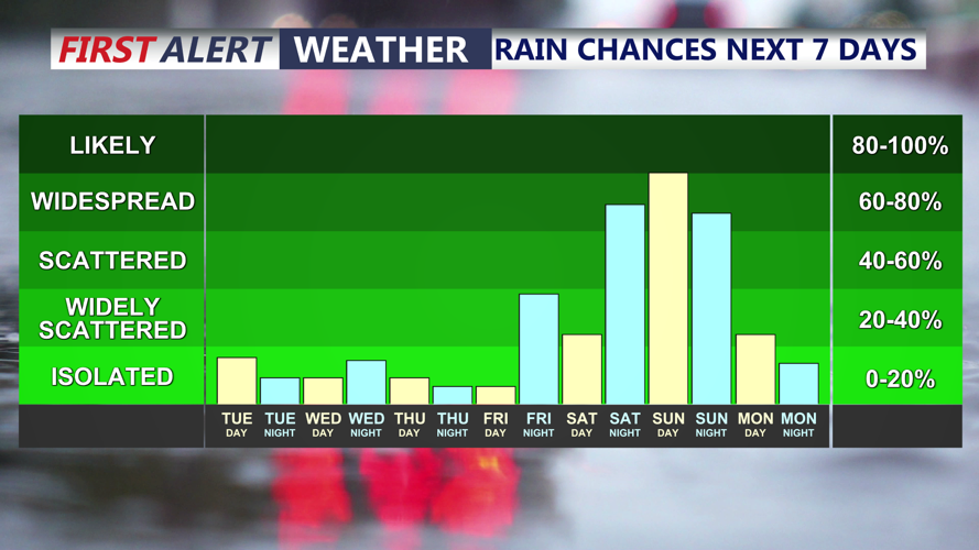
High pressure settles in, next chance of rain comes second half of the weekend.
A cold front arrives late Friday night, it does appear the front won't bring much in the way of rainfall. Cooler temperatures will arrive for the weekend as we fall back into the low 70s under mostly cloudy skies. Northeast flow will be with us over the weekend. Cold front stalls to our south as an area of low pressure will develop and ride along the front into Sunday. Periods of rain into Sunday, so the second half of the weekend looks unsettled with some showers potentially lingering into Monday morning.
Behind that system Canadian high pressure builds in and some of the coolest air this fall season moves in, highs in the 50s and 60s and overnight lows in the 40s Tuesday through Thursday of next week.
