




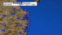

DELMARVA - A stretch of dry, pleasant weather will continue across Sussex County from late Tuesday evening through Wednesday evening as high pressure maintains its grip on Delmarva, bringing chilly overnight temperatures followed by a gradual warming trend.
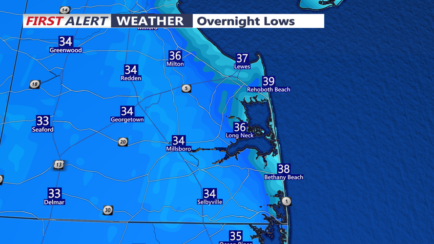
Tuesday night will feature mostly clear skies, light winds and dry conditions across the county. Temperatures will fall into the upper 20s and 30s, with the coldest readings expected in inland communities such as Georgetown, Seaford, Laurel and Millsboro. Coastal communities, including Lewes, Rehoboth Beach, Bethany Beach and Fenwick Island, may remain slightly milder.
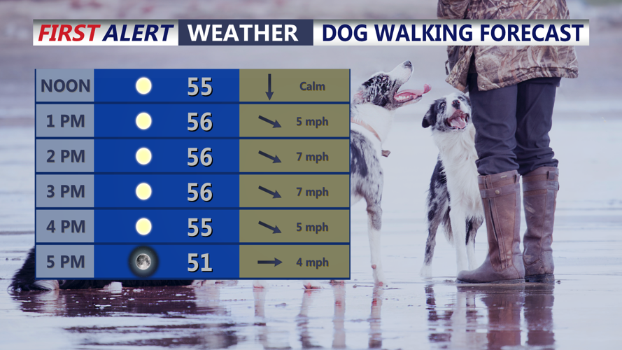
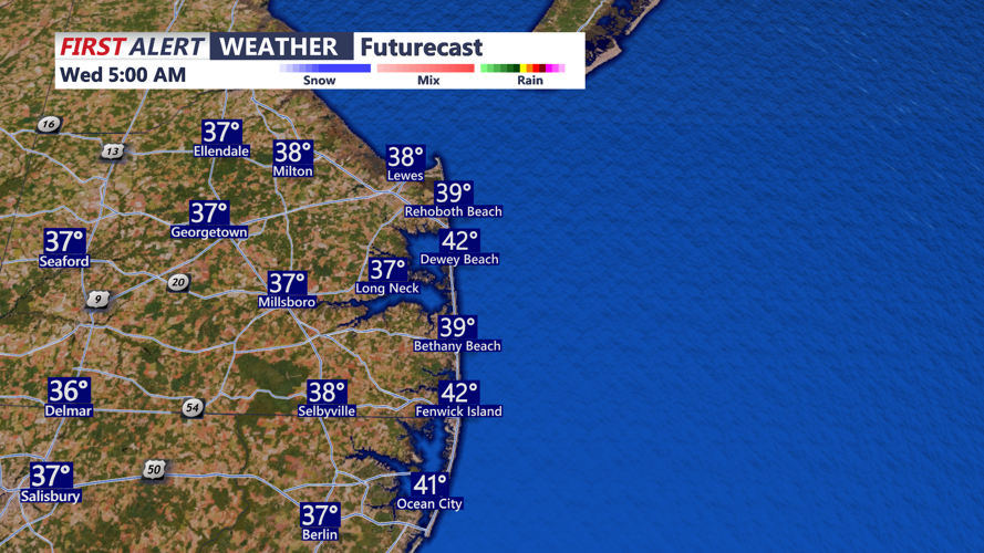
Wednesday will bring plenty of sunshine and seasonably mild conditions as temperatures climb into the upper 50s to lower 60s. West to northwest winds will generally remain below 12 mph, providing a comfortable afternoon across inland and coastal communities.
By Wednesday evening, clear skies and light winds will return, allowing temperatures to fall quickly after sunset. Dry conditions will continue, with no significant weather hazards expected.
The warming trend will strengthen Thursday and Friday as an upper-level ridge expands eastward and high pressure gradually shifts toward the Southeast coast. Afternoon temperatures will rise into the 60s Thursday, with some inland locations potentially reaching 70 degrees Friday. These readings would be approximately 10 to 15 degrees above seasonal averages.
Despite the warmer afternoons, nighttime temperatures will remain chilly, generally dropping into the upper 20s and 30s through the middle of the week.
The dry weather pattern is expected to persist into Saturday, although increasing moisture and a developing onshore breeze could bring more cloud cover to coastal communities.
Attention will then turn toward a potential coastal storm developing off the southeastern United States during the second half of the weekend.
Computer forecast models continue to disagree on the storm's track, timing and intensity. Some projections bring the system close enough to Delmarva to produce periods of rain, while others keep the storm farther offshore.
Rain chances currently range from 30% to 50% for Sunday into early next week. If the system tracks close enough to the coast, it could provide beneficial rainfall to portions of Sussex County that have experienced prolonged dry conditions.
Marine conditions should remain relatively calm through Saturday, with no significant boating advisories anticipated. However, increasing winds and building seas could create hazardous conditions along the Atlantic coast Sunday if the developing coastal low approaches the region.
For now, residents and visitors from Prime Hook and Lewes south through Rehoboth Beach, Bethany Beach, Fenwick Island and Ocean City, Maryland, can expect several days of favorable outdoor weather before the possibility of unsettled conditions returns late in the weekend.
