


DELMARVA - Dangerous heat and humidity will continue across Sussex County and southern Delmarva early Saturday morning through early Sunday morning, making outdoor holiday plans risky without frequent breaks and hydration.
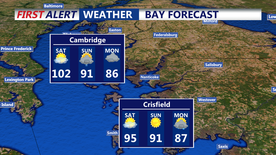
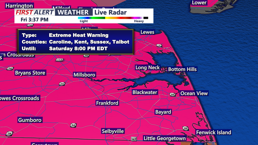
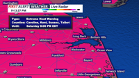
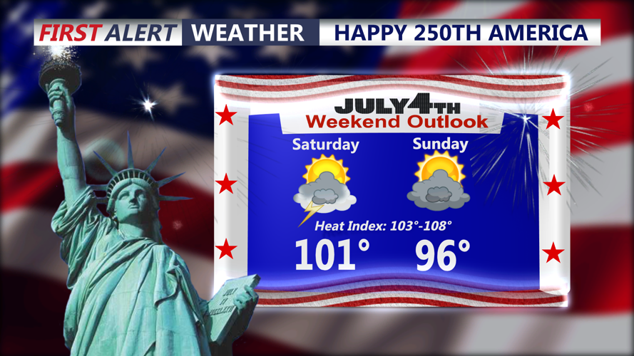
Saturday will start very warm and muggy, with temperatures quickly climbing through the morning. Afternoon highs are expected to reach the mid-90s to around 100 degrees, with even the beaches turning hot before a sea breeze develops. Heat index values will make it feel closer to 100 to 108 degrees, and an Extreme Heat Warning remains in effect through 8 p.m. Saturday.
The prolonged stretch of extreme heat will make conditions more dangerous, especially for people spending time outdoors for Fourth of July events, beach trips, parades or fireworks. Residents and visitors should limit strenuous activity, drink plenty of water and check on older adults, children and pets.
Storm chances will increase Saturday afternoon and evening as the ridge of high pressure begins to weaken and a cold front approaches the region. Scattered showers and thunderstorms could develop across southern Delmarva, and a few storms may become strong to severe. Damaging wind gusts will be the main threat.
Any storms could interrupt evening fireworks or outdoor gatherings. Conditions will remain warm and humid Saturday night into early Sunday, with additional showers and storms possible overnight. By Sunday, storms are expected to become more widespread, and the risk for heavy rain and flash flooding will increase into Monday.
