


DELMARVA - A strong storm system is set to impact the Delaware coast late Saturday night through Monday, bringing powerful winds, heavy rainfall, and rapidly dropping temperatures. Coastal communities should prepare for hazardous conditions, including the potential for localized flooding and strong wind gusts.
Late Saturday Night: Foggy and Increasingly Windy
As moisture surges into the region, fog and drizzle will develop along the beaches late Saturday night. Areas of dense fog could reduce visibility for drivers, especially near the coastline.
Winds will begin to increase out of the south, with gusts reaching 25-35 mph by early Sunday morning. While isolated showers are possible overnight, the heaviest rain will hold off until Sunday afternoon.
Sunday: Storm System Brings Heavy Rain and Strong Winds
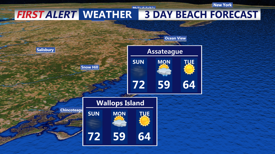
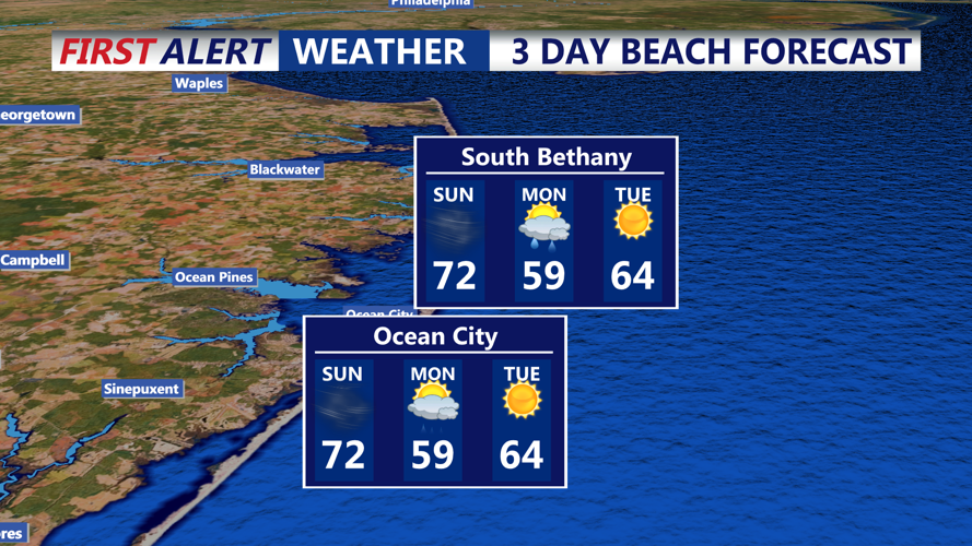
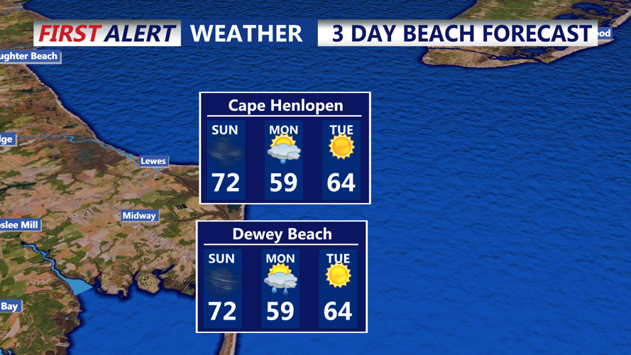
Sunday will start mild, with temperatures rising into the upper 60s to low 70s. However, conditions will deteriorate as a strong cold front approaches from the west.
- Wind: Southerly winds will increase throughout the day, with sustained speeds of 20-30 mph and gusts reaching 40-50 mph. Some isolated gusts near 55 mph are possible, especially inland and on bridges.
- Rain: A band of heavy rain will develop in the afternoon, with rainfall totals between 0.75 and 1.25 inches expected. Localized flooding is possible in poor drainage areas.
- Severe Weather Potential: While thunderstorm activity may be limited, the storm system’s strong wind field could produce damaging wind gusts, even without lightning.
By Sunday night, winds will abruptly shift to the northwest as the cold front passes, bringing much colder air into the region.
Monday: Clearing Skies, Colder Temperatures
The rain will clear out by early Monday morning, but cooler air will settle in behind the front. High temperatures will struggle to reach the mid-50s, and gusty northwest winds of 15-25 mph will make it feel even colder. Overnight lows will drop into the 30s, marking a significant change from Sunday’s warmth.
Coastal Concerns and Safety Precautions
- Strong onshore winds Sunday may create rough surf and hazardous marine conditions.
- Localized flooding is possible in areas with poor drainage due to heavy rain.
- Motorists should be prepared for reduced visibility in fog Saturday night and strong winds Sunday afternoon.
Looking Ahead: A Brief Warm-Up Midweek
After a chilly start to the week, temperatures will moderate slightly by Wednesday as high pressure moves offshore. However, another cold front is expected to arrive late in the week, bringing another round of unsettled weather.
Residents and visitors should stay alert for wind advisories and flood warnings as the system moves through. Stay with CoastTV for the latest updates.
