



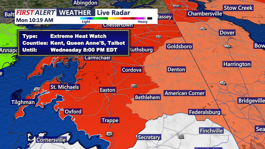

DELMARVA - A warmer and increasingly humid weather pattern will begin taking hold across Sussex County late Monday night and Tuesday, setting the stage for potentially dangerous heat by midweek.
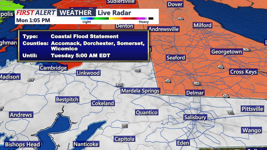
Late Monday night will remain dry, although spotty minor tidal flooding will be possible around the time of high tide along the Atlantic coast and Delaware Bay. Any flooding should be limited to the most vulnerable low-lying roads and shoreline locations, with water levels expected to remain below advisory levels.
Offshore winds will strengthen Tuesday, ending the coastal flooding concern after the overnight high tide.
Temperatures will rise quickly Tuesday as high pressure expands eastward and a warm front moves through the region. Afternoon highs should reach the upper 80s near the beaches and the lower to middle 90s across inland Sussex County.
Humidity will remain moderate Tuesday, keeping heat index readings below advisory levels. Conditions will become more uncomfortable Tuesday night as warmer and more humid air continues moving into southern Delaware.
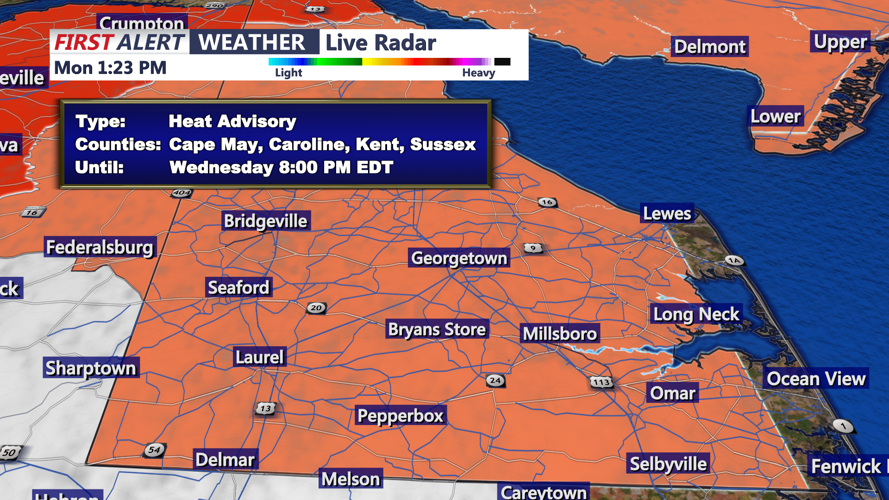
Wednesday is expected to be the hottest day of the stretch. Inland portions of Sussex County are under a Heat Advisory, while the Delaware beaches are not included. Temperatures well into the 90s, combined with rising humidity, could push heat index readings near or above 105 degrees away from the immediate coast.
A mostly dry cold front should cross the region late Wednesday or early Thursday, but only a modest decrease in temperatures is expected. Above-normal heat could continue through the end of the week.
The weather may become more active next weekend, with several opportunities for showers and thunderstorms. Some storms could eventually produce damaging winds, torrential rainfall and localized flash flooding.
