


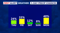

DELMARVA - There could be a few isolated showers or thunderstorms around dawn Wednesday as weakening storm activity moves into the region from the west.
Dry weather is expected for much of the overnight period before clouds increase and warmer, more humid air builds into the area. Any early Wednesday showers are expected to be isolated, though a rumble of thunder cannot be ruled out.
The chance for showers and thunderstorms will continue Wednesday as a weak disturbance and surface trough cross the region. The Storm Prediction Center has placed the area under a marginal risk for severe weather, the lowest of five risk levels.
Storms that develop Wednesday could bring brief heavy rain, lightning and gusty winds. Rain chances are expected to be scattered across the area, meaning some communities may see storms while others stay mainly dry.
Conditions will remain warm and increasingly humid Wednesday night into early Thursday. Any lingering showers or thunderstorms should become more limited overnight, but the muggy pattern will continue as the region heads toward a stretch of dangerous heat Thursday and Friday.
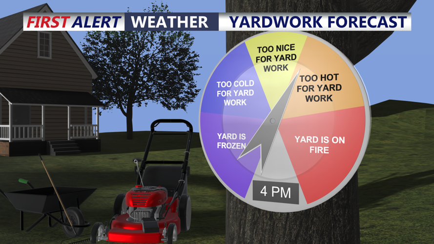
Temperatures later Thursday and Friday are expected to climb into the low to mid-90s, with heat index values possibly reaching 95 to 104 degrees across southern Delaware and nearby areas.
