








DELMARVA - A soggy start to the week continues as a nearly stationary front lingers just south of the Delmarva Peninsula, keeping coastal and inland Sussex County under different weather regimes through late Tuesday.
Areas such as Rehoboth Beach, Lewes, Bethany Beach, and the Indian River Inlet will remain entrenched in a damp and cool marine layer Monday night through early Tuesday. Patchy fog, drizzle, and light showers will continue as onshore flow holds temperatures in the low to mid 60s overnight.
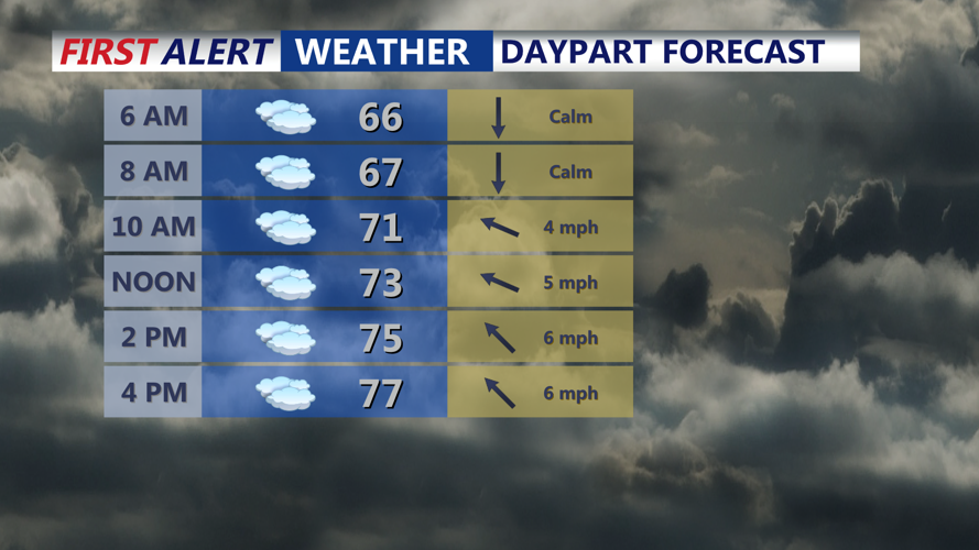
Tuesday morning will bring more of the same — mist and low clouds — though some breaks in the cloud cover could develop by afternoon as a warm front lifts slowly northward. Even so, beach highs may only reach the low to mid 70s, with continued chances for showers and possibly a thunderstorm by late day.
Fog may again be an issue along the coast Tuesday night, especially ahead of a moist, unstable air mass pushing into the region.
Inland towns including Georgetown, Laurel, Delmar, and Seaford will also see damp conditions Monday night with occasional showers and lows in the mid 60s. However, as the warm front inches northward during the day Tuesday, these areas will experience a noticeable jump in both temperature and humidity.
By Tuesday afternoon, breaks of sun are likely, and highs could climb into the upper 70s to even low 80s. Along with the warming trend comes the chance for scattered showers and isolated thunderstorms, mainly in the late afternoon and evening hours. Rainfall could be locally heavy in some of these storms.
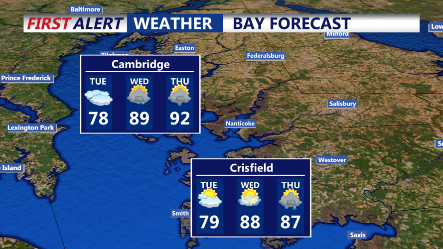
By Wednesday, a classic Bermuda high pattern sets up offshore, ushering in a stretch of hot and humid weather. Highs across Sussex County are expected to climb into the upper 80s to near 90° inland, with dew points in the oppressive 70s. That will push heat index values well into the 90s — possibly near 100° for some locations by Thursday.
Wednesday and Thursday afternoons may also feature strong to severe thunderstorms, especially inland, as instability builds ahead of an approaching cold front. The biggest threats are damaging wind gusts, frequent lightning, and brief downpours.
Relief is on the way by Friday, with cooler, less humid air expected to settle in behind the front. The weekend forecast looks dry and seasonable at this time, making for a much more pleasant stretch along the beaches and inland alike.
