





DELMARVA - High pressure will continue to influence the weather across Sussex County late Sunday afternoon and evening, providing generally dry conditions before a developing nor’easter offshore begins affecting the Delaware coast Monday.
Sunday evening will feature mostly clear to partly cloudy skies, with temperatures gradually falling through the 50s into the 40s overnight. Inland communities, including Georgetown, Seaford and Millsboro, could experience patchy frost in sheltered locations early Monday morning. However, increasing northeast winds should limit widespread frost formation, particularly near the beaches.
The National Weather Service in Mount Holly has issued Frost Advisories for portions of Pennsylvania and New Jersey, but no Frost Advisory is currently in effect for Delaware.
Monday will begin chilly, with temperatures generally in the 40s before climbing into the lower 60s during the afternoon. Sunshine will mix with increasing clouds as northeast winds strengthen, especially along coastal communities including Lewes, Rehoboth Beach, Dewey Beach, Bethany Beach and Fenwick Island.
The greatest concern will be a developing nor’easter off the North Carolina coast. As the storm intensifies and interacts with high pressure to the west, the tightening pressure difference will produce increasingly gusty northeast winds and building seas along Delaware's Atlantic coastline.
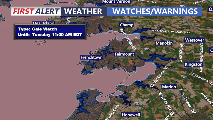
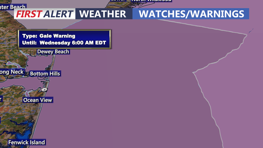
A Gale Warning has been issued for Delaware's Atlantic coastal waters beginning at 6 a.m. Monday and continuing through early Wednesday morning. Marine wind gusts could approach 40 to 45 mph or higher, producing dangerous boating conditions. A Small Craft Advisory is also scheduled for Delaware Bay beginning Monday afternoon.
Seas will build significantly as the offshore storm develops, creating potentially hazardous conditions near Cape Henlopen, Indian River Inlet and the beaches farther south. Mariners are urged to exercise extreme caution, while beachgoers should remain aware of increasing surf and rough ocean conditions.
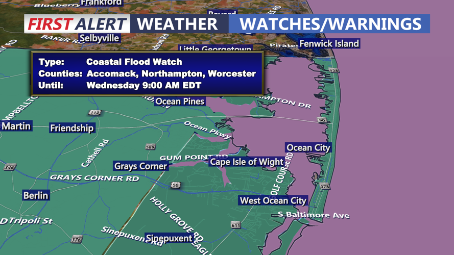
Although significant inland impacts are not currently anticipated, forecast uncertainty remains regarding the storm's exact track and how long it may linger offshore. Periods of gusty northeast winds, occasional showers and possible coastal flooding could affect Delaware's beach communities for several days through the middle of the week.
Residents and coastal businesses should continue monitoring forecast updates as the potential for prolonged onshore winds and tidal flooding becomes clearer.
