


DELMARVA - A weak area of high pressure will settle over the Delmarva Peninsula, providing clear and calm conditions overnight. The cold front that passed earlier in the evening will stall just to the south, though there remains a slight chance of patchy fog developing in some low-lying areas late tonight.
Wednesday:
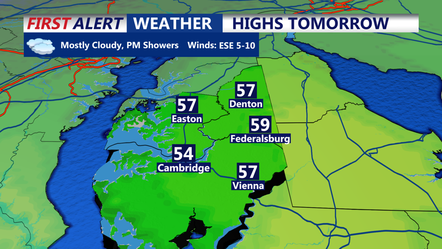
The high pressure will shift offshore by early Wednesday as a warm front begins to lift northward from the stalled boundary. Low pressure from the southwest will approach, bringing increasing clouds and a chance for rain late in the afternoon. Rainfall will spread across the region by evening and could become moderate to heavy at times, with accumulations ranging between 0.25 and 0.50 inches. Localized ponding on roadways may occur during the evening commute.
Wednesday Night:
Rain will persist through much of the overnight hours as the low-pressure system lifts to the northeast. A cold front will trail the departing low, gradually ending rainfall from west to east before daybreak Thursday. Skies will begin to clear as temperatures drop into the low to mid-30s across inland areas, with slightly warmer readings near the coastal communities.
Thursday:
High pressure will build in from the north, ushering in a period of fair and seasonable weather. Expect partly cloudy skies with highs in the 40s. By Thursday night, temperatures will dip into the 20s inland and hover near 30 degrees in areas close to the coastline.
Friday and Friday Night:
A weak disturbance will pass through the region, bringing a slight chance for light precipitation. With colder air in place, there is a possibility of light rain or snow, particularly inland. Moisture availability remains limited, so any accumulations are expected to be minimal.
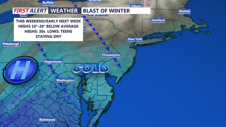
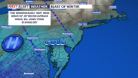
Weekend and Early Next Week:
A Canadian high-pressure system will dominate the weather pattern starting Saturday, delivering colder air straight into the Delmarva Peninsula. Expect brisk conditions with highs only reaching the upper 30s to low 40s and lows plunging into the 20s. Coastal areas will experience wind chills making it feel even colder. The dry and wintry pattern is likely to persist into early next week.