




DELMARVA - Residents across Sussex County and coastal communities extending from Lewes and Rehoboth Beach south to Ocean City, Maryland, should prepare for a changing weather pattern late Thursday night through Friday evening, as a strong cold front brings an increased threat of severe thunderstorms.
A warm front moving north through the region Thursday night will bring increasing clouds, followed by periods of rain and scattered showers after midnight. An isolated thunderstorm cannot be ruled out, while patchy fog could develop toward daybreak Friday.
Showers are expected to gradually diminish Friday morning as the warm front moves north of the region. Skies should begin clearing by late morning, allowing several hours of partial sunshine and unusually warm temperatures during the afternoon.
Highs Friday are forecast to reach the upper 70s to lower 80s across Sussex County, with some inland communities potentially reaching the mid-80s. Increasing humidity will accompany the warmer temperatures, with dew points climbing into the middle and upper 60s.
However, attention will quickly turn to an approaching strong cold front Friday afternoon and evening.
The Storm Prediction Center has upgraded the entire region to a Level 2 out of 5, or slight risk, for severe thunderstorms. The primary concern is damaging straight-line wind gusts associated with a developing line of thunderstorms. A brief tornado also cannot be completely ruled out.
The greatest threat for Sussex County and coastal communities from Rehoboth Beach and Bethany Beach to Fenwick Island and Ocean City is expected between 8 and 10 p.m. Friday.
Although forecasters anticipate some weakening of the storms as they approach the coast after sunset, the combination of strong winds in the atmosphere and sufficient instability could still support isolated severe weather.
Residents should remain alert for rapidly changing conditions Friday evening, including sudden strong wind gusts, heavy downpours and frequent lightning. Outdoor activities, particularly near the beaches and waterfront communities, could be disrupted as the storms move through.
Marine conditions will also deteriorate Friday afternoon. A Small Craft Advisory takes effect at 3 p.m. for Atlantic coastal waters, with southwest winds increasing to 17 to 23 mph and gusts reaching approximately 29 to 35 mph. Seas are expected to build to 3 to 5 feet.
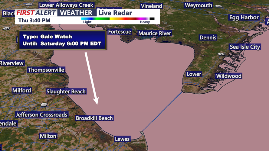
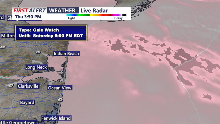
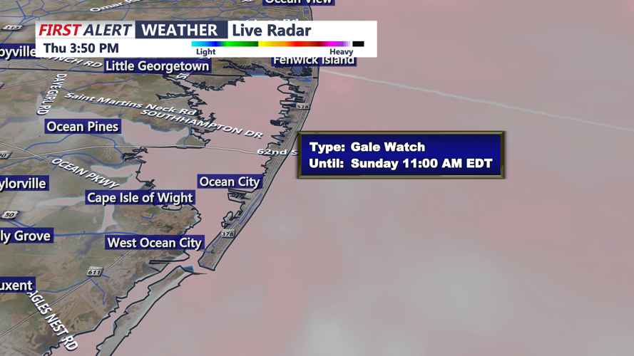
Additional hazardous marine conditions are anticipated Saturday, with a Gale Watch in effect for potentially stronger northwest winds and seas building to 4 to 7 feet.
Showers and thunderstorms should gradually exit the region from west to east later Friday evening, followed by a much cooler and drier air mass for the weekend.
Saturday will turn breezy and noticeably cooler, with northwest winds occasionally gusting between 23 and 35 mph. By Saturday night, temperatures could fall into the middle and upper 30s across inland portions of Sussex County, while coastal communities remain somewhat milder, generally in the 40s.
Although frost is possible in some sheltered inland locations, persistent winds and dry air could limit its development.
Looking ahead, high pressure is expected to bring a stretch of quieter, dry weather beginning Sunday and continuing into much of next week.
Residents are encouraged to monitor updated forecasts and any severe thunderstorm warnings issued Friday evening, particularly during the anticipated 8 to 10 p.m. window.
