




DELMARVA - A powerful cold front moving across Delmarva Friday evening will bring the threat of severe thunderstorms, damaging wind gusts and heavy downpours before ushering in a sharp drop in temperatures and strong northwest winds overnight.
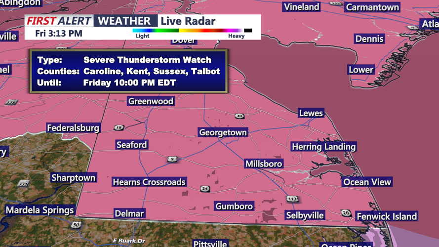
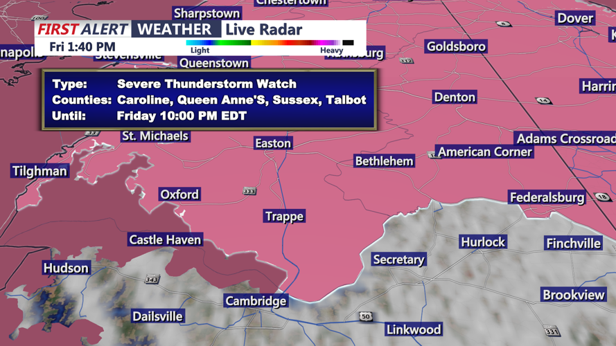
The National Weather Service in Mount Holly has placed Sussex County under Severe Thunderstorm Watch until 10 p.m. Friday, Oct. 16. The watch means conditions are favorable for severe thunderstorms, although not every community will experience damaging weather.
The greatest concern is between 7 and 9 p.m., with the threat potentially continuing into the early nighttime hours as a line of thunderstorms moves eastward across the county. Communities including Seaford, Laurel, Georgetown, Millsboro, Lewes, Rehoboth Beach, Bethany Beach and Fenwick Island should remain alert for rapidly changing conditions.
Our region is under a Level 2 out of 5, or slight risk, for severe weather. Despite relatively limited atmospheric instability, strong winds at different levels of the atmosphere could support organized thunderstorms capable of producing damaging wind gusts.
The primary concern is straight-line winds capable of downing tree limbs, causing isolated power outages and creating hazardous driving conditions. Brief heavy rainfall and frequent lightning are also possible with stronger storms.
You should have multiple ways to receive weather warnings, particularly during the evening. A Severe Thunderstorm Warning would indicate that damaging weather is occurring or imminent and that immediate shelter is necessary.
After 9 p.m., the threat of severe thunderstorms should gradually decrease as the cold front moves offshore and the atmosphere loses daytime heating. However, showers may continue through the overnight hours, particularly across southern and coastal portions of Sussex County.
Behind the front, winds will shift sharply from the southwest to the north and northwest, bringing much colder and drier air into the region.
Northwest winds will increase to 15 to 25 mph overnight, with gusts potentially reaching 30 to 40 mph. Unlike the brief damaging gusts associated with thunderstorms, these strong post-frontal winds could continue well after the severe weather threat has ended.
Temperatures will fall steadily from the lower 70s Friday evening into the lower and middle 50s by early Saturday morning. The combination of falling temperatures and gusty winds will produce a dramatically different feel by sunrise.
Between midnight and 8 a.m. Saturday, scattered showers may linger, particularly near the Delaware beaches. Strong northwest winds will remain the dominant weather concern as the colder air mass settles over the region.
Marine conditions will become especially hazardous. A Small Craft Advisory remains in effect until 6 a.m. Saturday, followed by a Gale Warning for the Delaware coastal waters beginning at 6 a.m. and continuing into Sunday morning. Wind gusts over the Atlantic waters could reach approximately 35 to 45 mph Saturday, with even stronger gusts possible as the weekend progresses.
Saturday will remain windy and much colder, with highs struggling to reach the middle 50s. Conditions should gradually improve as lingering showers move out, although gusty winds will continue throughout the day.
Looking farther ahead, temperatures could fall into the 30s Saturday night, while forecasters monitor the potential development of a nor'easter off the Mid-Atlantic coast that could bring prolonged northeast winds and hazardous marine conditions next week. The extent of any coastal impacts remains uncertain.
